
Distance: 11.1 mi.
Elevation Gain: 5000 ft.
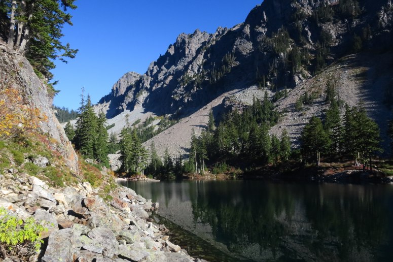
We got started a bit after 8 AM. It was a pleasant hike with a pretty steady uphill climb, except for one brief downhill section, until Melakwa Lake. We reached the lake at 10:30 AM. From here we followed a climber’s trail around the left (west) side of the lake.
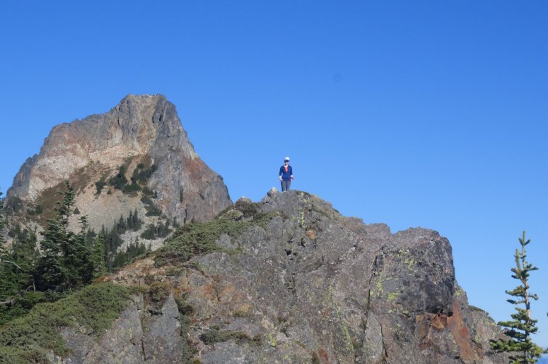
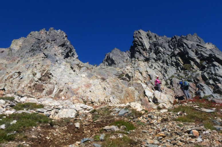
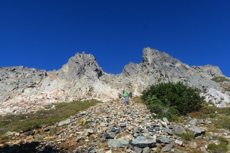
The climber’s trail was steep but easy to follow, with a few scrambly moves before reaching the first high point (marked by a large cairn). Melissa and I ran up Kaleetan’s south peak “Point 5700″(Craig tagged it on our way back) while everyone relaxed and had a snack.
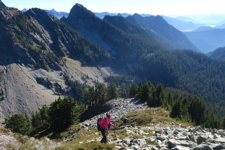
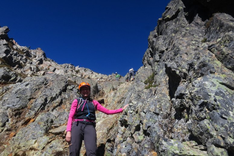
From here we veered left (northwest) and began a steep descent into the western bowl of Kaleetan. It would have been a tricky descent in normal conditions, but the dirt was infused with sneaky surface hoar, making for a very treacherous downclimb. We all managed to make it down into the boulder field below without incident. From here we put on helmets and followed a long northward traverse across intermittent boulder fields and trail. There were a few possible routes, but it were generally easy to find our way. We finally reached the bottom of the scramble to the summit, where Craig and I stashed our poles.
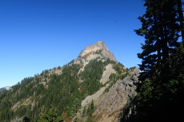
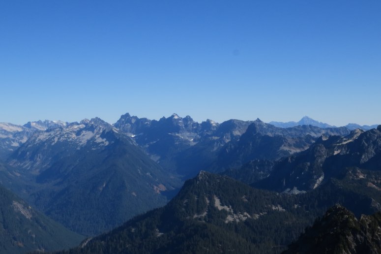
The scramble itself was solid, blocky, and fun. After recent trips up Hozomeen and Bonanza, it was nice to do a scramble where we weren’t constantly gripped with fears of imminent demise. That said, it’s definitely a solid 3rd class scramble and experience and helmets are recommended. We reached the summit at 1 PM. There was a cool little plaque on the summit with arrows pointing to major surrounding peaks. Despite it being a mid-October day, we had clear views in all directions.
By the time we headed down, there were several parties headed up. We tried to stay out of the way of the main route to avoid experiencing any rockfall. There were a couple slightly more difficult but easily navigable scramble routes to climber’s right of the main route.
We made our way back down into the bowl and then climbed back up the icy slope toward Point 5700, much easier going in this direction. The steep descent from here was a knee crusher, but at least there were some pretty fall colors to distract from the pain.
We stopped at Melakwa Lake again for a beer break, had our brief climb away from the lake, and then had a gentler descent down to the trailhead. We finished just after 6 PM.
(Download the free Gaia GPS app on your phone to view tracks and then get a Gaia GPS membership if you want offline access. Discount below!)

Recommended brew: Temescal Brewing Love is Love IPA
Gear Used:
- GPS
- Helmet
- Approach Shoes (Vanessa & Brian), Trail runners (Craig & Melissa)
- Trekking poles
Post may contain affiliated links