
Distance: 12.2 mi.
Elevation Gain: 6860 ft.
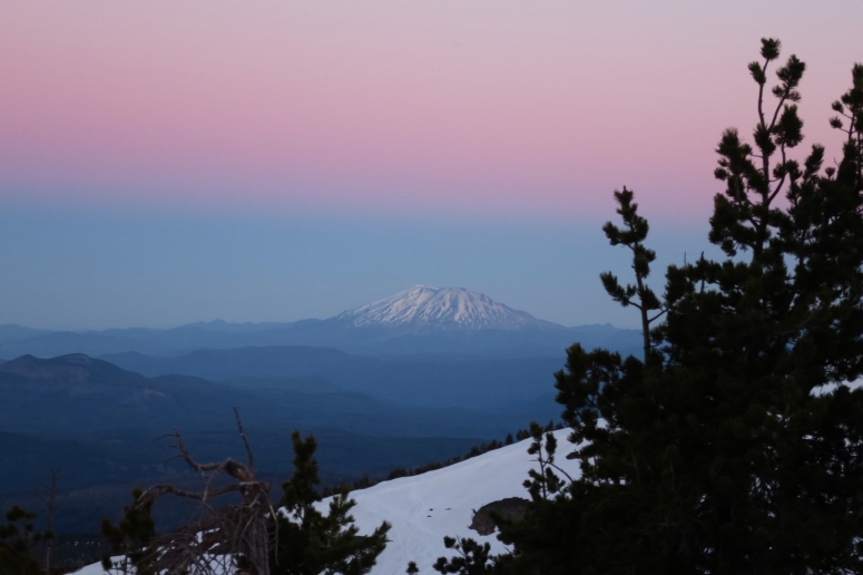
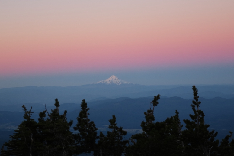
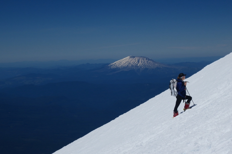
We slept at the trailhead and got started at 2:45 AM, walking on dry trail in our trailrunners with our skis and boots on our backs. After about 2 miles we hit consistent snow and were able to start skinning, so we stashed our trail runners in some bushes and continued on. As the sun rose, we appreciated the views of Mt. St. Helens and Mt. Hood at dawn.
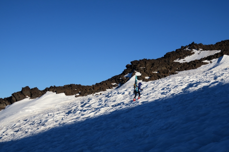
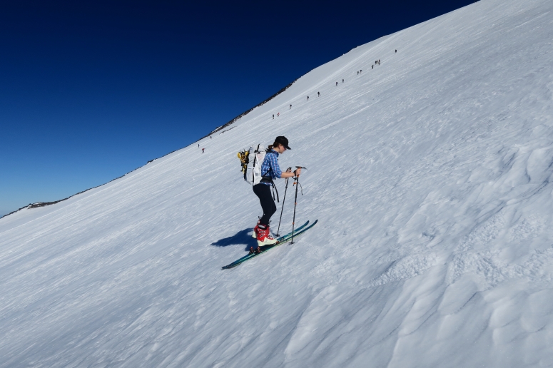
At 7600 ft. we hit a funky spot that was melted out and required a brief down climb and bushwhack with our skis on our backs. We avoided this area on the way back by descending further skier’s right (west). On the steep slope below Lunch Counter, I carried skis while Craig skinned and Sara used her ski crampons.
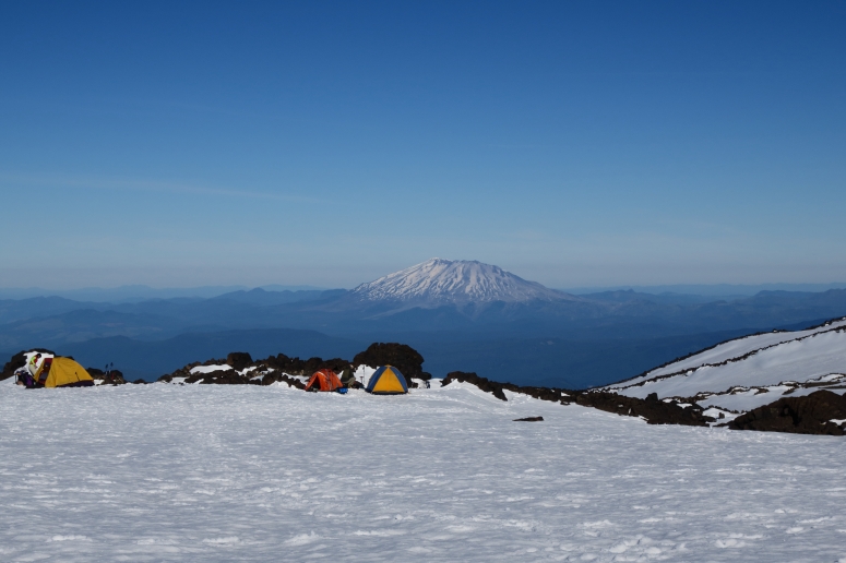
We passed the high camp at Lunch Counter at 7:30 AM and stopped for a snack. From there we continued north toward Pikers Peak (the false summit). This slope required some steep skinning but we were able to skin up without carrying. I left my skis on the flat area north of Pikers Peak since it was getting icy, but Craig and Sara continued the rest of the way with skis.
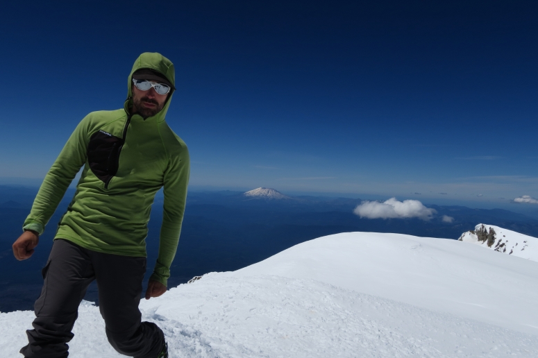
We had beautiful clear skies for the summit. Sara reached the summit while I struggled up the last slope with mild altitude sickness, so she had time to take a nap up there 🙂 Craig and I reached the summit at 12:30 PM.
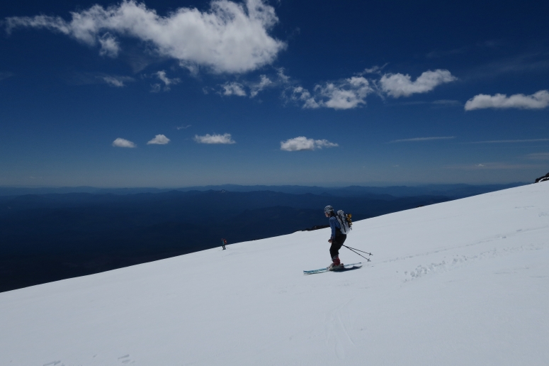
From there we headed back down to pick up my skis, then skied a bit further skier’s right (west) than our ascent route. It was a bit rocky toward the bottom but we avoided any bad scrapes. You wouldn’t believe it but… when we went back to grab our trail runners, someone had taken Sara’s and mine! Craig’s were still there, though. Bizarre. So we sadly had to hike back out in our ski boots after a very long one-day push up to the summit. We were back out around 4:30 PM.
(Download the free Gaia GPS app on your phone to view tracks and then get a Gaia GPS membership if you want offline access. Discount below!)

Recommended brew: pFriem IPA
Gear Used:
- Avalanche beacon/shovel/probe
- Backcountry boots/skis/skins
- Glacier glasses
- GPS
- Helmet
- Steel crampons
- Trail runners
- Trekking poles
- Whippet
Post may contain affiliated links