Distance: 18.3 mi.
Elevation Gain: 4900 ft.
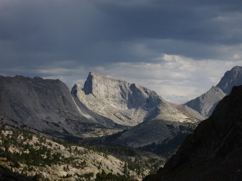
It was our first time in The Wind River Range so we decided to tackle Pingora Peak, one of the fifty classic climbs of North America. We left the car parked at Big Sandy Recreational Area and got started hiking at 8:20 AM. We made it to the Cirque of the Towers to set up camp at 2 PM. It was a slow and tiring climb with both backpacking and climbing gear as well as hiking above 9,000 feet all day.
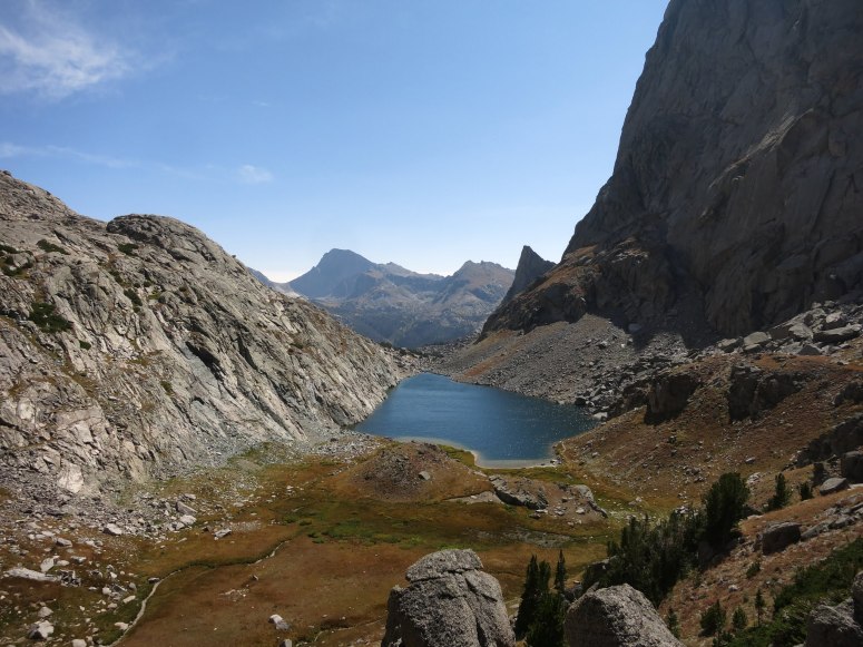
The campsite was nice but we were intimidated by the sound of snow and rock falling off of the towers above all night. Also beware the boulder field just south of camp – it is a mine field of human 💩 under every rock!
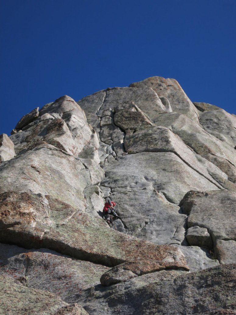
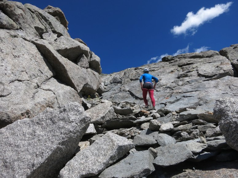
We got started at 6:30 AM the next morning. We wanted to get up and down Pingora before any afternoon thunderstorms might start brewing. We reached the base of the climb after about 30 minutes of hiking north on an obvious climber’s trail to the south side of the peak.
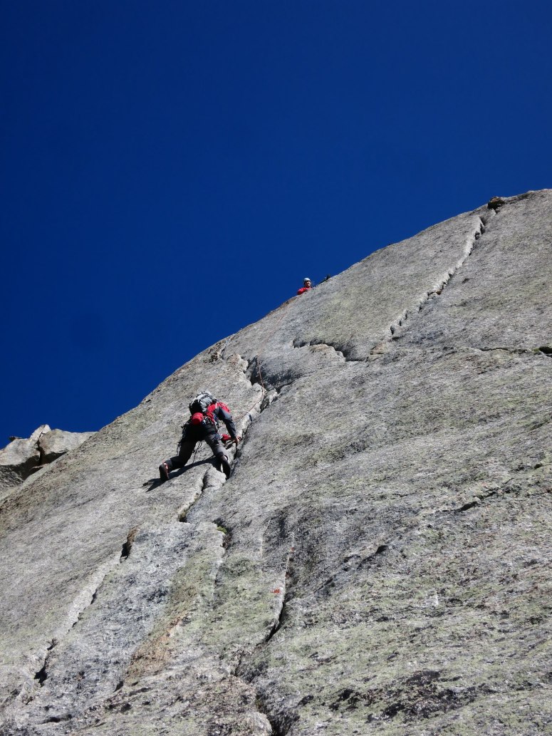
We climbed the easier South Buttress route, at 8 pitches of 5.6. Craig led the whole thing. Pitches 1 and 8 were both scrambles. Craig got a little off route on pitch 3, climbing too far right. When he realized he had to move left along the crack, both pieces of the gear he had placed popped out of the rock due to the upward force of the rope. So as I stood below “belaying” him, I said, “Hey Craig…don’t fall.” Luckily he made it safely to the top of the pitch and the rest went pretty smoothly. There was another couple on route 1-2 pitches ahead of us.
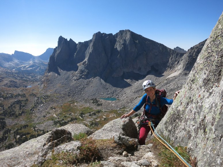
The summit block was an easy walk up and we reached the summit just after 11 AM. Skies were blue on top, but it wasn’t long before the clouds began rolling in. Soon, the group ahead and we were all racing down the rappel stations to avoid being up high during a thunderstorm. We returned to the base of the climb at 2 PM. Ultimately, the storm held off until we returned to camp, and even then it was just a light rain without lightning.
The rest of the week’s forecast was not looking so good so we decided to head out for the day rather than camping in the rain. We got started at 3 PM. We went around the western (skier’s right) side of Arrowhead Lake on the way down for a more flat and direct route, but ended up doing some climbing over and under boulders right along the edge of the lake that felt silly although it saved us a little time. The decent was mostly uneventful, but we did get to see three moose eating some leaves. We watched them for a while, but then the male one started grunting at us, so we booked it for the trailhead. We finished at 7 PM. This mountain range is absolutely stunning and definitely worth a visit!!
(Download the free Gaia GPS app on your phone to view tracks and then get a Gaia GPS membership if you want offline access. Discount below!)

Recommended brew: Snake River Brewing Zonker Stout
Gear Used:
- ATC device
- Backpacking tent
- Climbing shoes
- GPS
- Harness
- Helmet
- Rope
- Sleeping pad
- Summer sleeping bag
- Stove
- Trad gear
- Trail runners
- Trekking poles
- Water drops/filter
Post may contain affiliated links