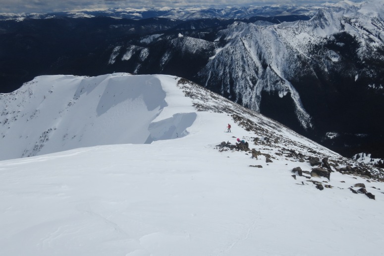
Many of the trip reports on this site enter avalanche-prone terrain. If you’re planning to adventure in Washington State between the months of November and June, it’s important to know what you don’t know about avalanche terrain.
If you’re willing to accept the risk that you or a member of your crew is buried in an avalanche, you should first buy a beacon/shovel/probe and then sign up for an AIARE 1 course. We used American Alpine Institute which was great! NWAC.us is the best resource for up-to-date avalanche forecasting in Washington State. You can get Avalanche Forecast apps on your phone that link to NWAC.

If you’re hoping to avoid avalanche terrain, we recommend to stick to lower-elevation trips (less than 3,000 feet). You can also go on flat hikes at higher elevation, but make sure that there aren’t steeper slopes above you. The easiest way to check this is to cross-reference your planned trip against CalTopo Maps with Slope Angle Shading. We’re happy that Gaia GPS has map layers for slope angle shading and estimated snow depth on their premium membership maps (discount below), which helps us a ton with trip planning.
Happy, safe travels!

Post may contain affiliated links
