
Distance: 7.3 mi.
Elevation Gain: 4100 ft.
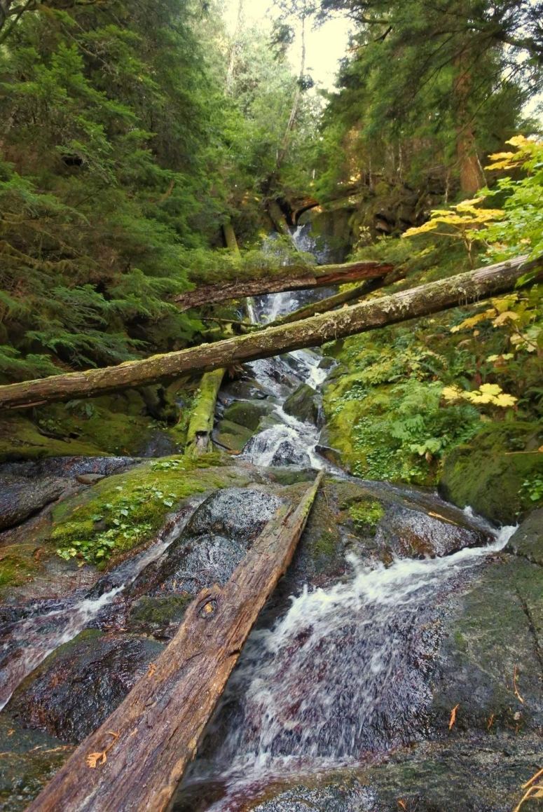
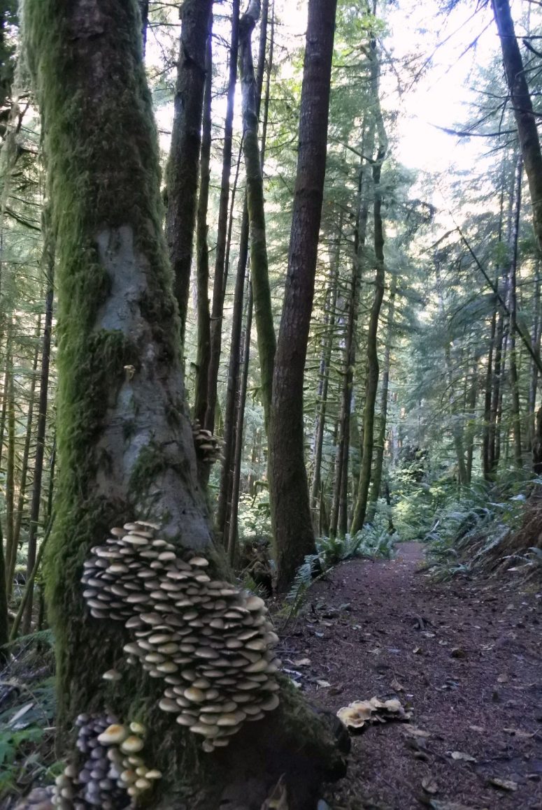
I drove down from Seattle in the morning, and got started at 11 AM. I took the West Boundary Trail, which is south from the Carbon River trailhead (behind the trash cans). It was in pretty good shape despite not being maintained by the park. There was a small waterfall after a mile, probably more impressive earlier in the year.
I continued up numerous switchbacks until I saw a boulder field on my left (east), which Craig’s winter GPS track and my guidebook both said to use to approach Sweet Peak. This boulder field had the evil trifecta (I just made that up) of devil’s club on one side, slide alder on the other, and slippery moss in between. After finding a thin area of devil’s club to pass through, where I only got stabbed about 5 times, and then almost slipping on several boulders, I got pushed due east by the slide alder. Although all my data said to go southeast toward the ridge between Sweet and Florence, I decided to just see if I could approach from the steeper western slope of Sweet.
What I didn’t realize was that there were several vertical rock bands between me and the summit of Sweet. Using various game trails I was able to pick a way through the rock bands, but ended up doing some slippery 4th class scrambling that I wouldn’t repeat without a helmet and a spotter. I recommend approaching Sweet from the southwest, and I think I saw several nice, open routes farther up the trail, above the slide alder.
I eventually did safely make it to the summit of Sweet Peak, where there was a teeny summit register that had gotten wet inside, and no views to speak of.
From here I went south along the ridge toward Florence. This ridge was quite open, calm, and pleasant to walk through, and there were several nice game trails to follow until I reached a small unnamed lake. I did see three deer while I was in this quiet part of the forest.
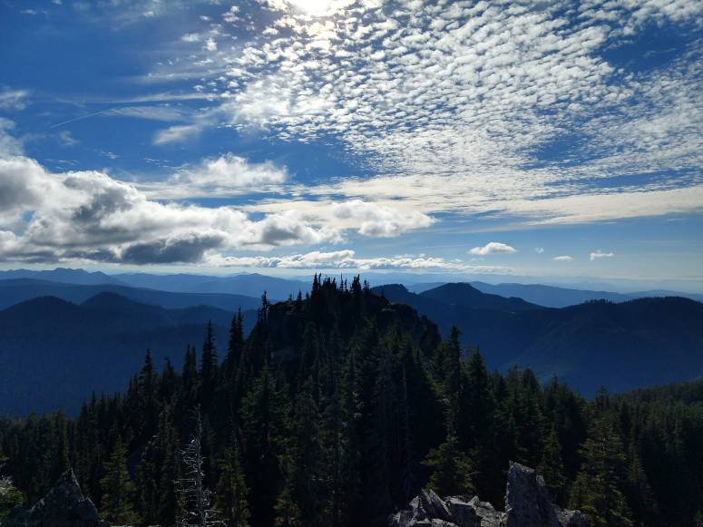
From here the game trails fanned out and became difficult to follow. I went around the left (east) side of the lake until I reached a boulder field and took a climbing leftward (southeast) traverse. Soon after, I found the climber’s trail to Florence Peak, which took me to the false summit. The final ridge to Florence looked dubious from the start, but it was a straightforward scramble with only one or two 3rd class moves, without too much exposure. I reached the summit just before 3PM. The views from there made all my effort worthwhile! The summit register was started in 2012 and only on its fourth page of use.

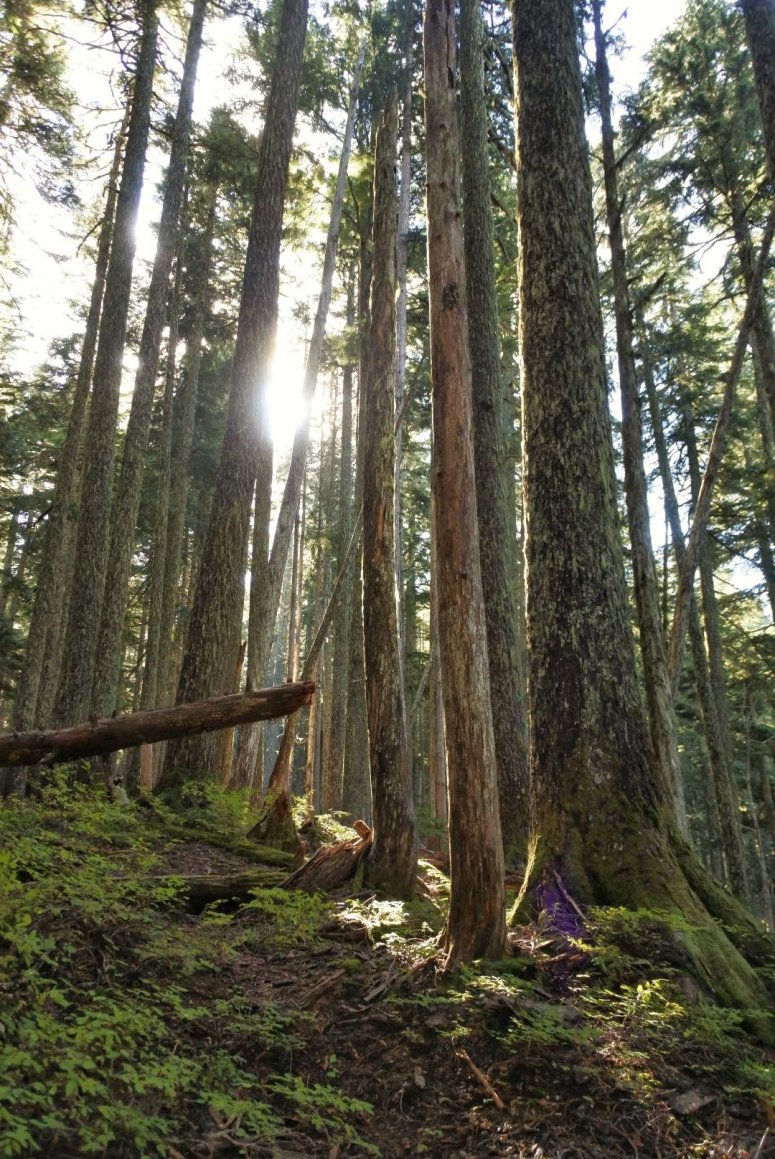
I followed the climber’s trail from Florence peak all the way back to the main trail – it was in overall good shape and easy to follow except for a grassy slope just below the southwest ridge of Florence Peak. I was able to move quickly down the climber’s trail and the Boundary trail, and finished up at 5:15PM. It was a very pretty trail through the temperate rainforest, and the mushrooms were going bananas! Unless you have a particular reason to do Sweet Peak, I would stick with Florence Peak only.
Download GPS track
Craig’s Winter Ascent GPS Track
(Download the free Gaia GPS app on your phone to view tracks and then get a Gaia GPS membership if you want offline access. Discount below!)

Gear Used:
- GPS
- Helmet (didn’t bring but wished I had)
- Trail runners
- Trekking poles
Post may contain affiliated links