
Distance: 8.4 mi.
Elevation Gain: 3850 ft.
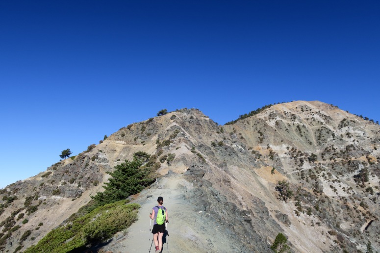
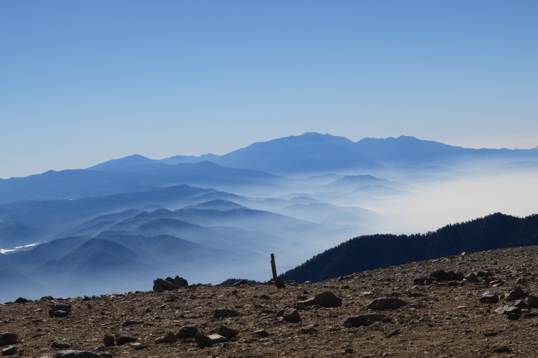
We had a flight later that day, so we arrived early at the Old Baldy parking lot. We started hiking at 6 AM and took a super direct northeast route up the first ski hill. It was dusty and steep, but we reached the little ski village on top at 7 AM and then we headed left (north) along a paved road. The sun rising over low clouds looked very pretty, and we were surprised to see several other hikers out at this early hour. We dropped in to the left (southwest) off of the road to take the climber’s route over toward the summit of Mount San Antonio. The path headed northwest and was pretty straightforward minus a few thin areas over steep gullies.
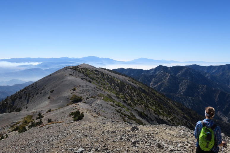
We reached the summit at 9 AM, where we saw a runner come up from a different route. We started back down at 9:15 AM and retraced our steps, having to step aside on the narrow path fairly often for uphill hikers. When we reached the ski village, we decided to take the road down the rest of the way. It was longer but a lot simpler. By this time, we saw some people taking the ski lift up for an easy trip to the nice views on top.
We completed our hike at 11:15 AM and headed to Las Angeles for our flight back home!
(Download the free Gaia GPS app on your phone to view tracks and then get a Gaia GPS membership if you want offline access. Discount below!)

Recommended brew: Last Name Brewing Mistakes Were Made Dark Ale
Gear Used:
- Day packs
- Trail runners
- Trekking poles
Post may contain affiliated links