
Distance: 12.0 mi.
Elevation Gain: 5740 ft.
I had previously failed to get up Reynolds in September 2010. I had been wanting to get back to do it properly, but it is a long way from Seattle. This weekend the weather was looking pretty great for Saturday and I couldn’t find anyone that wanted to go out for a day trip that day, so I decided it was time to do the super long drive as a day trip.
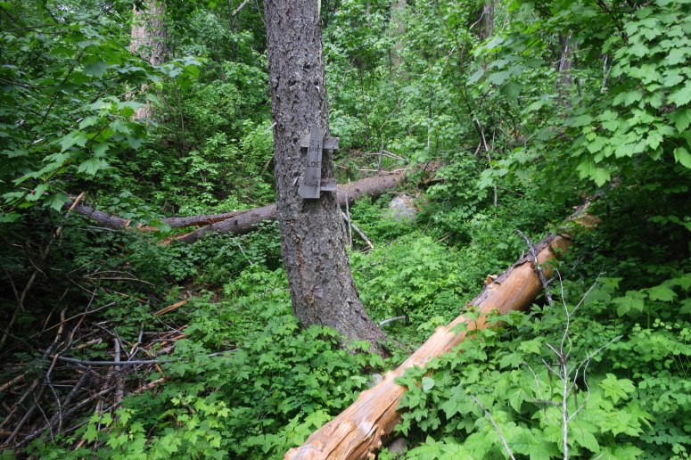
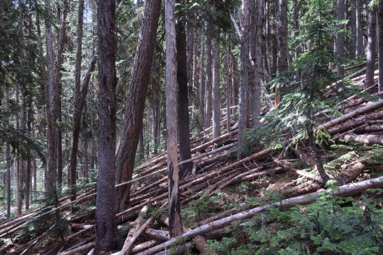
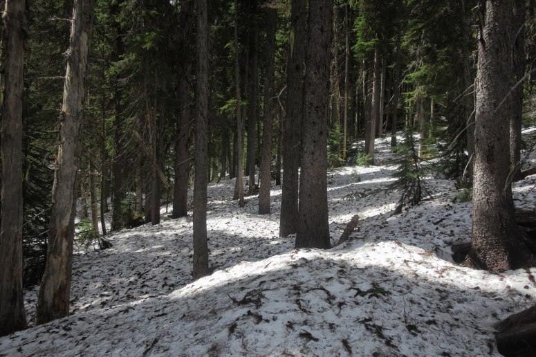
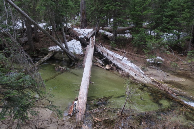
I left Seattle at 4:45 AM and made my way up the North Cascades highway and to Twisp River Road. After a few brief stops I made it to the trailhead and was heading up the trail at 9 AM. There were a lot of mosquitoes at the trailhead, but I didn’t really see any after that. The Reynolds Creek Trail is in pretty rough shape, definitely worse than the last time I was there. There were many blow downs, especially once above 4,600′ when you enter a burned area. The trail is pretty brushy overall and I was glad I wore long pants. I first encountered snow around 4,500′.
At around 4,720′ I left the trail and descended to Reynolds Creek. I couldn’t find a good place to cross initially and worked my way up the creek (some alder encountered) until I was just above where the south fork of the creek splits off. There were several large logs here that allowed me to easily cross over the main fork of the creek. I then stayed on the west side of the creek where I was able to find relatively easy travel without much snow, just to the west of the creek. After the initial climb, the terrain leveled off around 5,100′. I initially stayed too far from the creek and encountered lots of small downed trees that were unpleasant to cross.
I descended to the creek again to avoid this and to get on consistent snow. I ended up crossing the creek twice as I made my way up valley, but this didn’t necessarily make things any better or worse.
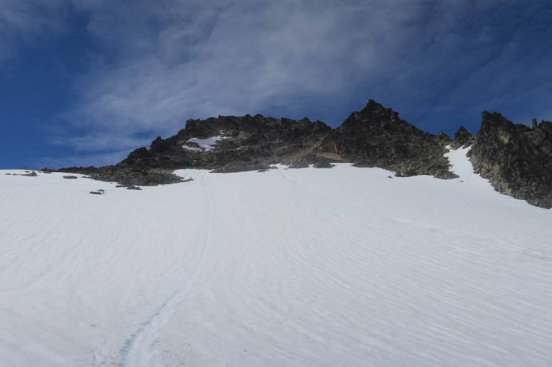
I eventually made my way to the head of the valley in a clearing below the east face. There was less snow out here and some nasty alder patches I needed to avoid. I went a bit further up valley, negotiating just a bit of alder, but then found my way onto some snow fingers that took me directly up to the east face. The snow was somewhat tedious because it was pretty firm, requiring good kicked steps, or mushy, resulting in post holing. I ended up trying to avoid the snow whenever I could, traversing grassy and rock ledges (class 2) until I arrived at the next snow patch.
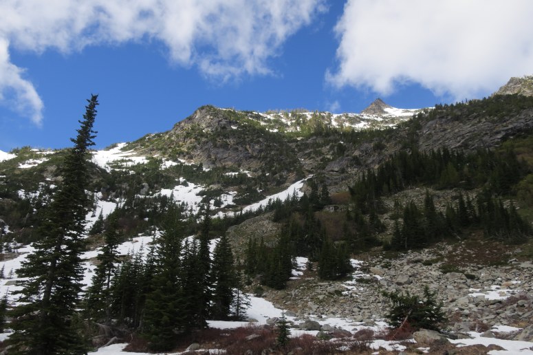
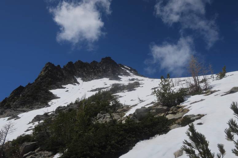
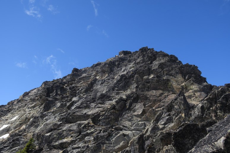
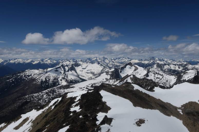
Near the top of the east face I did have to do less pleasant loose scrambling, but nothing too difficult. I eventually met the NE ridge and followed that up to the summit rocks. Really soft snow and class 3 scrambling brought me to a notch in the ridge where I had to switch to the south side of the summit block for the final scramble. I found fun class 3 scrambling here, and encountered Grant and Analisa, the only other two people I would see during the day. I made my way to the top and had a short nap, until the other two reached the top. We had a good time talking about climbing and playing ‘name that peak’.
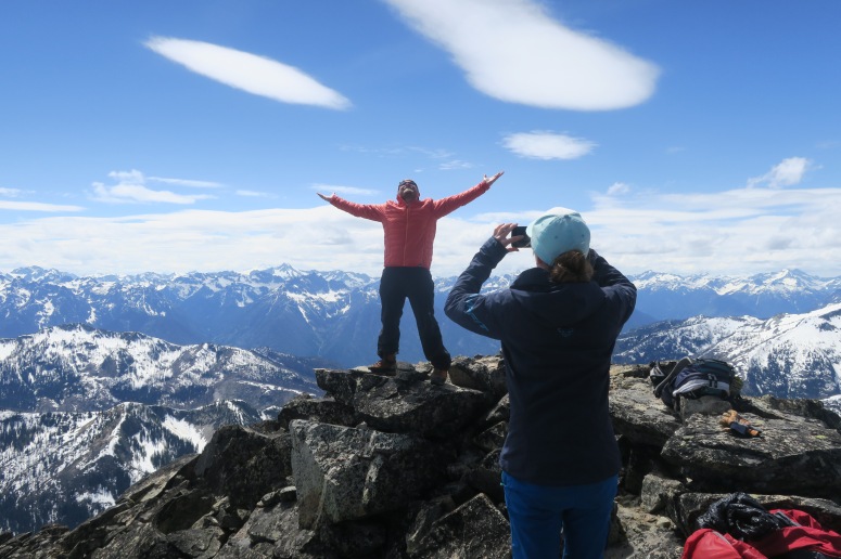
After more than an hour at the summit we all scrambled down. I decided to descend the way that they had ascended, more to the SE on lower angle slopes and almost continuous snow. It was here I parted ways with them, as I did some speed glissades down and was very quickly back in the creek basin below the east face. I pretty much retraced my steps and made my way back to the car by 5:45 PM.
I elected to drive the slightly longer route down the east side of the mountains through Wenatchee, as I feel the drive is a bit easier and I just think it is kind of pretty this time of year. I made it back to Seattle around 10:30….a very long day trip.
(Download the free Gaia GPS app on your phone to view tracks and then get a Gaia GPS membership if you want offline access. Discount below!)

Recommended brew: Stillwater Artisinal Ales Critical Thinking
Gear Used:
- Aluminum ice axe
- Gaiters
- Glacier glasses
- GPS
- Helmet
- Hiking boots
- Trekking poles
Post may contain affiliated links