
Distance: 3.65 mi.
Elevation Gain: 1800 ft.
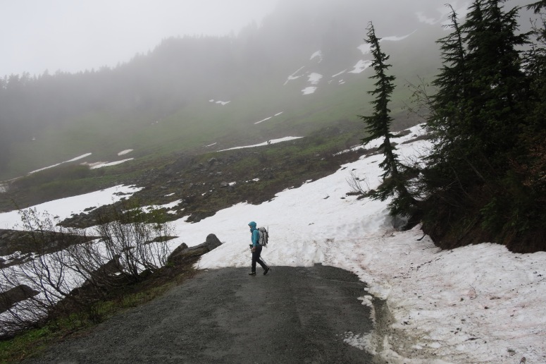
We were itching to get outside, so opted for this hike on a rainy, foggy day. We started at 10:30 AM and the road wasn’t quite melted out to the trailhead which added maybe a quarter mile to our hike.
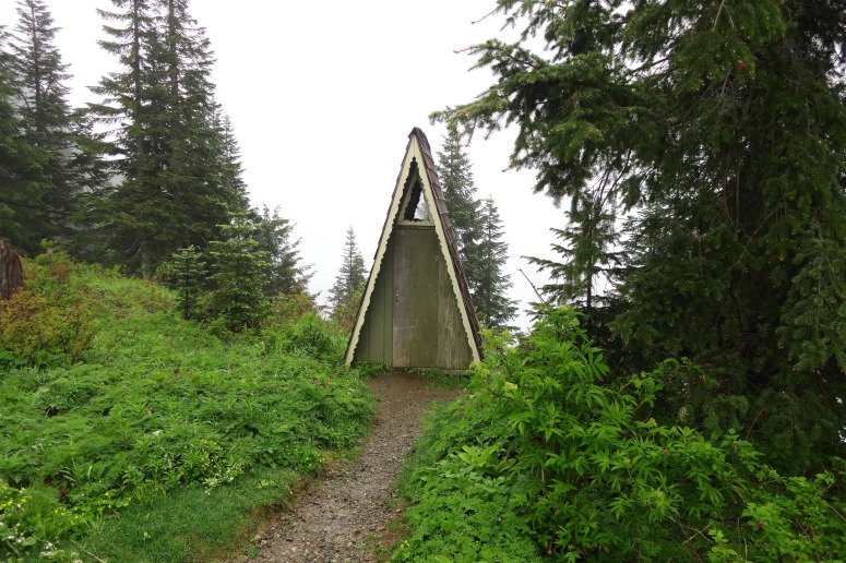
The TH had the cutest privy ever! Just FYI.
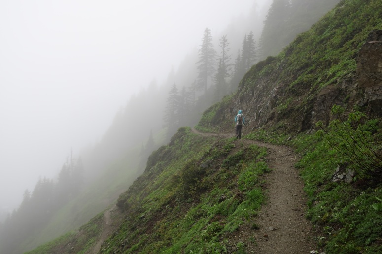
The trail up to the ridge was mostly melted out but there were a few snow patches. This is a very steep slope, so we pulled out our ice axes for even brief crossings.
From the ridge up, there was still quite a bit of snow. We crossed a small basin and then crossed another rock band, turning sharp left in order to approach the summit.
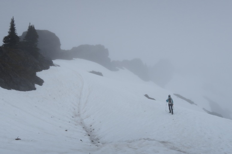
We followed a good boot path on a pretty steep snow slope east of the ridge. We wouldn’t have crossed it without axes because a slip would have been very high consequence. We got back on rock, where the trail was once again visible, and we reached the old lookout site at 11:45 AM. We didn’t try to do the true summit, which requires a slab scramble, because the rock was all wet.
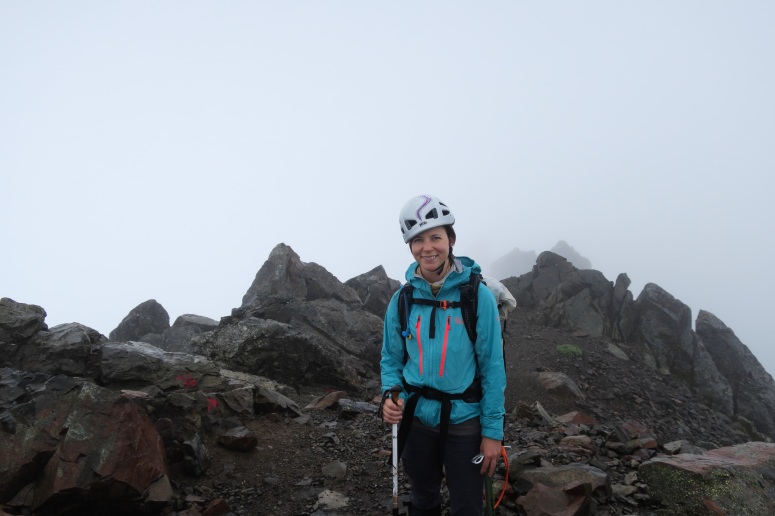
On the return trip it was a little more challenging to cross those small snow patches on the trail going downhill. We even downclimbed one patch facing inward (with helmets and ice axes of course). This is a bit of a riskier trip for late spring/early summer, and a woman fell and died there shortly after our hike.
(Download the free Gaia GPS app on your phone to view tracks and then get a Gaia GPS membership if you want offline access. Discount below!)

Gear Used:
- Aluminum ice axe
- Gaiters
- GPS
- Helmet
- Mountaineering boots
- Trekking poles
Post may contain affiliated links