
Distance: 16 mi.
Elevation Gain: 8000 ft.
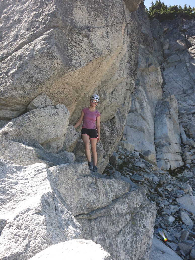
This trip was one of my all-time Washington favorites, despite packing a whole lot of difficulty into 16 miles. First off we drove to Deception Pass Trailhead to toss Craig’s Mountain bike into some bushes, then drove back down N-4330 to Paddy-Go-Easy Pass Trailhead, where we left the car. We started hiking at 8:45 AM and reached Paddy-Go-Easy Pass at 10:20 AM. From here we turned left (northwest) onto a climber’s trail toward Paddy-Go-North. We scrambled counterclockwise around the peak (starting from a notch in the east ridge) to reach the summit of Paddy-Go-North at 11:20 AM. We descended the northwest side of the peak having to backtrack slightly at one point to avoid a cliff and descend a gully slightly east of the ridge.

We hit a confusing jumble of rocks at 1:15 PM, heading too far northwest before realizing that we needed to retrace our steps and approached the summit of Sherpani from the west. We worked out way back to the west ridge of Sherpani, then scrambled straight for the summit, encountering one 4th class move to get onto the plateau below the actual summit. There was a surprisingly green meadow up there, and it was kind of magical. The summit was just a giant boulder leaning at an angle, which required a bouldering move to get on top. We reached the summit of Sherpani at 2:20 PM. There were hundreds of ladybugs flying around up there, and the summit register was super old with very few entries! So cool.
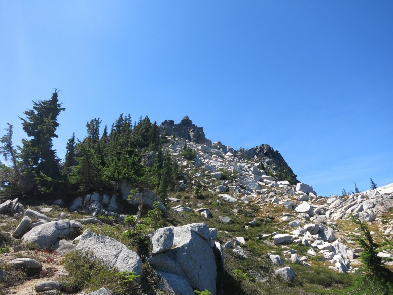
We retraced our steps to the boulder field, then continued northwest. We looked over the right (east) side of the ridge ahead but saw that there was a steep dropoff below, so we backtracked a bit and dropped down the west side of the ridge for some some very steep and bushy sidehilling to bypass point 6520. We regained the ridge after passing this steep part and then stayed on the ridge until about 6300′ where things started to get tricky again. We were able to drop off the east side of the ridge to get into an easy boulder field that would take us up to the west ridge of South Granite. It was fun sticky boulder hopping, but pretty tiring. We reached the side trail for South Granite at 5:50 PM and turned right (northeast). This was a very rugged climber’s trail with lots of shrubs to bash through, but we made it to the summit at 6:30 PM.
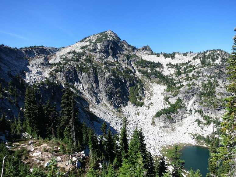
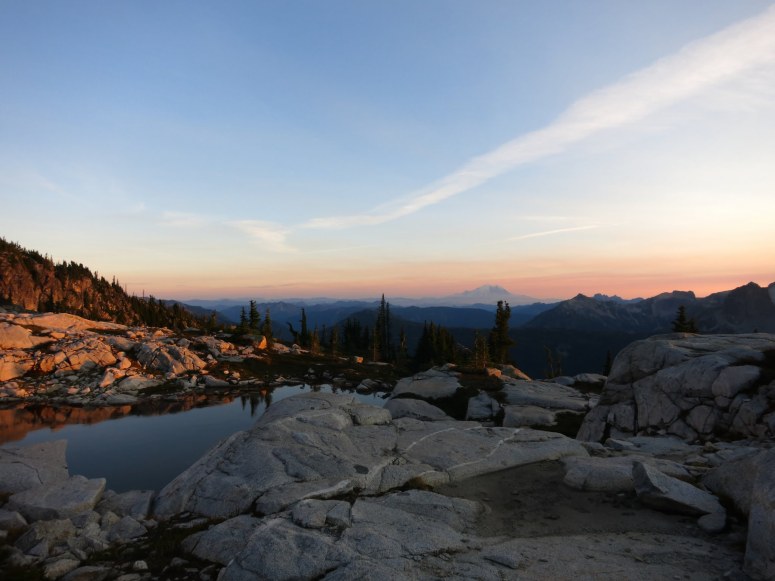
Next we returned to the climbers trail between South Granite and Granite Peaks, which was faint but more established than the random made-up route we took between Sherpani and South Granite. About a third of the way between South Granite and Granite we found a small lake at 6440′ with a flat sandy area nearby, and jumped on the chance for a beautiful, empty campsite. We stopped at 7:15 PM. The sunset from here had gorgeous, glowing views of Mount Rainier, and we even had some goat visitors!
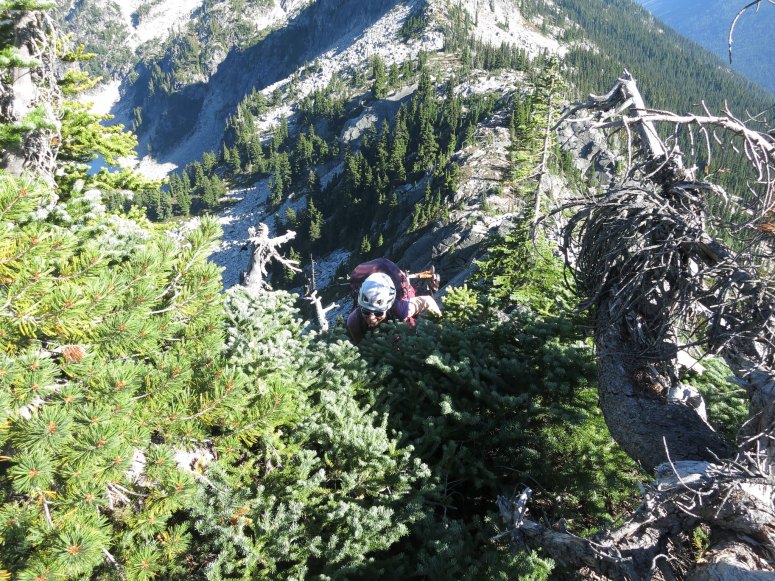
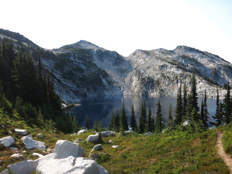
The next morning we got started just before 8 AM. We headed north and quickly reached another small alpine lake, then finally reached the well-establish trail between Tuck and Robin Lakes and Granite Mountain at 8:20 AM. Here we dropped our packs and turned right (southeast) to summit Granite Mountain, the fourth peak of our trip. We reached the summit at 8:30 AM and quickly started our trip back down. We continued north until we reached the north end of upper Robin Lake, then curved left (southwest) past lower Robin Lake. The lakes were very busy with overnight backpackers, and we were once again happy for our solitude the evening before.
We took the common, steep route west, then southeast past Tuck and Hyas Lakes until we reached Deception Pass Trailhead again at 2 PM. Craig retrieved his bike so that he could roll downhill to the car and come back up to get me. I loved this trip.
(Download the free Gaia GPS app on your phone to view tracks and then get a Gaia GPS membership if you want offline access. Discount below!)

Recommended brew: Odin Brewing Asgard IPA
Gear Used:
- Backpacking tent
- GPS
- Helmet
- Mountain bike
- Sleeping pad
- Summer sleeping bag
- Stove
- Trail runners
- Trekking poles
- Water drops/filter
Post may contain affiliated links