
Distance: 4.6 mi.
Elevation Gain: 1800 ft.
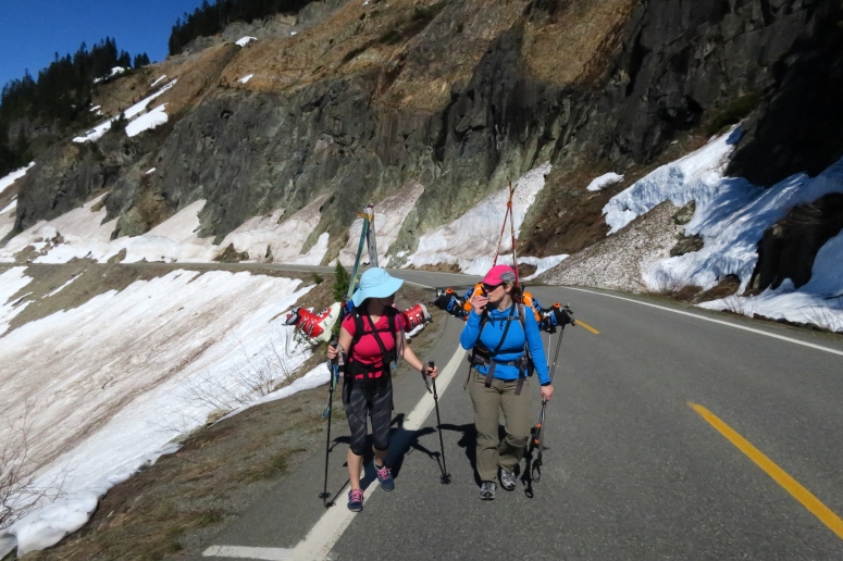
We parked at Cayuse Pass, which had just opened up for the summer, at 9:15 AM and walked up the road until the first switchback. It wasn’t super far, but far enough that we wanted to wear our trail runners. From here we were able to skin up to the Tipsoo Lake trailhead.
We followed the trail southeast until we reached the reached the southwest ridge of Naches. We followed the ridge up to the south peak of Naches.
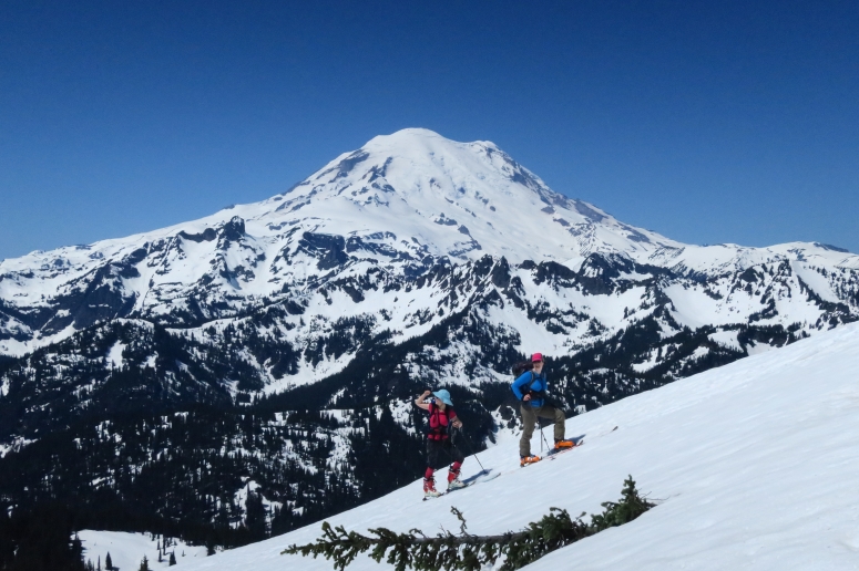
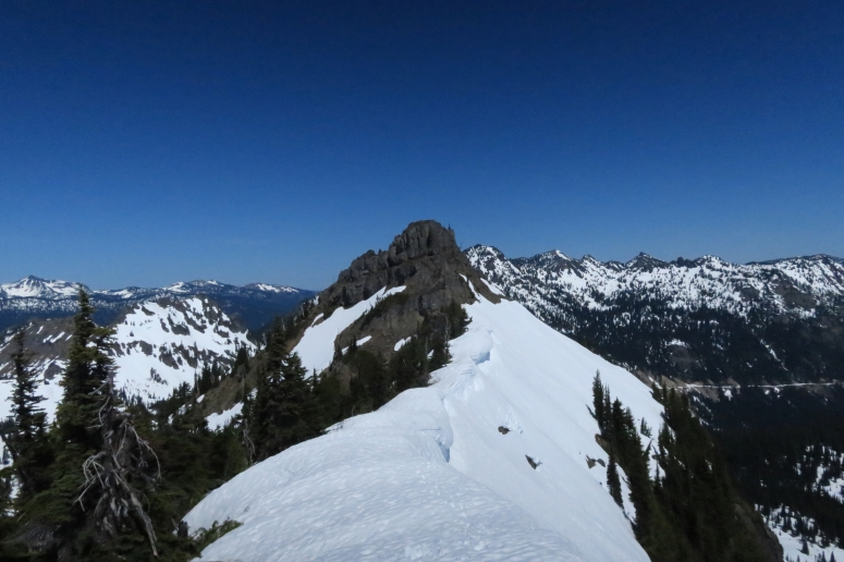
We could see that the summit ridge was corniced and technical, so we didn’t attempt to go to the true summit. We enjoyed our lunch with magnificent views of Mount Rainier National Park as a backdrop.
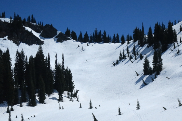
The ski back down to the ridge was a little steep and treed, causing some sticky spots. Then we had to remember to maintain our elevation as we curved back around to skiers right. When we reached the slope on the southwest side of the peak again, the turns were fantastic down to the lakes below. We saw one other group doing laps but we decided to head out for the day. We finished by 2 PM.
(Download the free Gaia GPS app on your phone to view tracks and then get a Gaia GPS membership if you want offline access. Discount below!)

Gear Used:
- Avalanche beacon/shovel/probe
- Backcountry boots/skis/skins
- Glacier glasses
- GPS
- Helmet
- Trail runners
- Trekking poles
- Whippet
Post may contain affiliated links