
Distance: 10.6 mi.
Elevation Gain: 6200 ft.
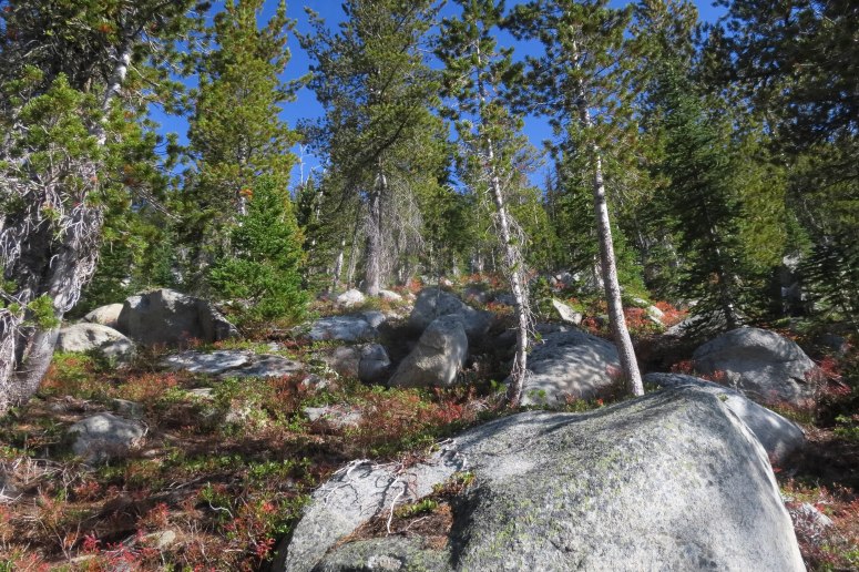
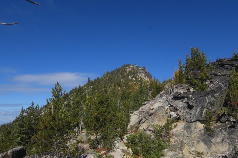
After spending the night at James and Viginia’s place in Leavenworth and driving past the insanely busy parking area at Snow Lakes TH, we reached the Chatter Creek TH at 8 AM and got started hiking along the gentle, colorful Chatter Creek Trail. Unlike those folks hiking in the Enchantments, we only saw two groups all day. When we reached about 4900 feet, we turned climber’s right off the trail at a semi-obvious (if you’re looking for it) climber’s trail spur (at a very orange, decaying log). The climber’s trail was steep but pretty straightforward. As we reached the boulder fields below Lake Ida, we turned left (north) toward Frigid Mountain. We found a decent path most of the way, with some minor bushwhacking. We had to traverse left (west) slightly to bypass some rock bands but it was pretty easy going after that. When we reached the ridge, it was a fun ridgewalk/2nd class scramble over to the summit.
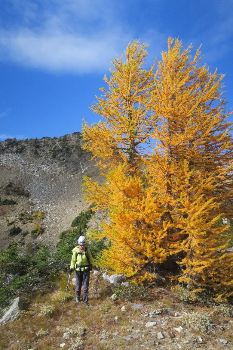
We had lunch on the summit at about 11:30, and then dropped onto the northwest side of the ridge (requiring some brief 3rd class moves) toward the scree field just east of the notch between Frigid and its northern subpeak. When we reached the scree field we descended down it and to the left, following some recent boot tracks toward the east ridge of Frigid. The scree was firm and scary at first, but it got softer quickly. We crossed onto the left (north) side of a notch in the ridge where there were oodles of bright yellow larches…just as we had hoped!
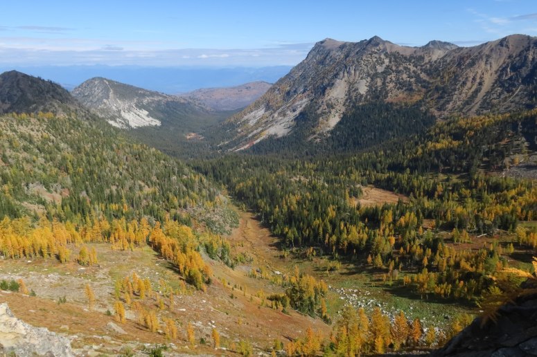
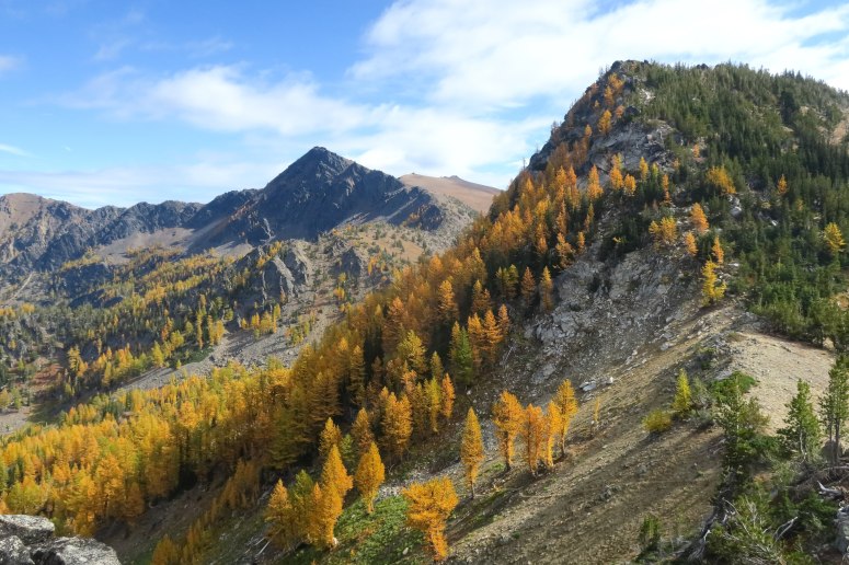
We followed a very nice game trail part of the way and then headed east until we reached a boulder field on the north side of Pt. 7313, which was easy to traverse. Before long we reached the notch north of Lake Ida. This area is reminiscent of the Enchantments Core but with no one to be found.
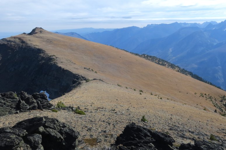
We turned left (northeast) up the slope below Big Lou. Craig stayed left to tag the summit of Big Slide (GPS track follows his route) while I continued a slow, rising traverse to the east toward Big Lou. Craig met me over there. I don’t think I’ve ever seen such a large grassy meadow in the alpine. It was simple to travel across.
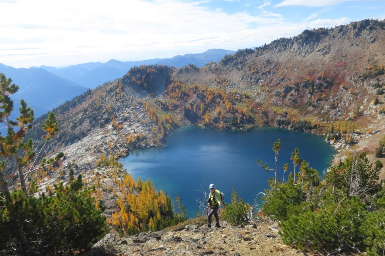

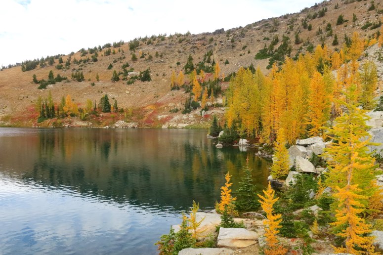
We had second lunch on the summit of Big Lou, while enjoying the perfect weather and endless views. Then we headed back toward Lake Ida, cognizant of the fact that we had 6,000 feet to descend. We probably dropped in toward the lake a little too early because we had to work our way through some sketchy, steep sand. It might have been better to go further west all the way back to our ascent route. Nevertheless, we made it to the lake, where we briefly chatted with a father and son duo camping there. The lake was stunning, surrounded by yellow and gold larches, and we were pretty jealous of their setup.
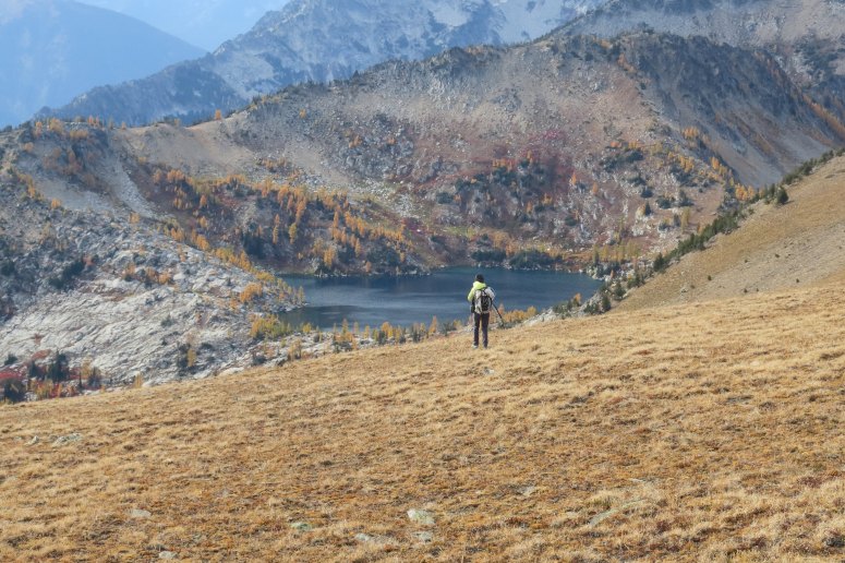
We went around the east side of the lake and then turned left (west) for one final, brief climb toward a notch in the ridge above. There were occasional boot tracks to follow. On the other side we basically went straight down but encountered some more sketchy, steep slopes before reaching mellow slopes. However, there were lots of boot tracks so I think this is the way most people go.
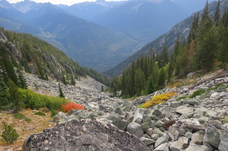
We traversed to the gully that would take us back to Chatter Creek, we found a climber’s trail to follow all the way down the gully, with some scattered cairns. It was on the left side of the talus field initially and pretty easy to follow. It crossed the talus at 5,900′ and stayed just to the right of the large rocks the rest of the way down. We had only a tiny bit of bushwhacking before making it back to the main climber’s trail. We got a little bit off track on our way back down to Chatter Creek Trail, but were able to right ourselves by checking our up track on the GPS. We luckily made it back to the trail before dark and then had a straightforward hike back out, albeit on some wobbly legs by this point.
I left this hike thinking, “Why haven’t I spent more time in the Alpine Lakes Wilderness?!”
(Download the free Gaia GPS app on your phone to view tracks and then get a Gaia GPS membership if you want offline access. Discount below!)

Recommended brew: Wet Coast Brewing Sneak Thief Milk Stout
Gear Used:
- GPS
- Helmet
- Trail runners (filled with sand)
- Trekking poles
Post may contain affiliated links