
Distance: 8.3 mi.
Elevation Gain: 3600 ft.
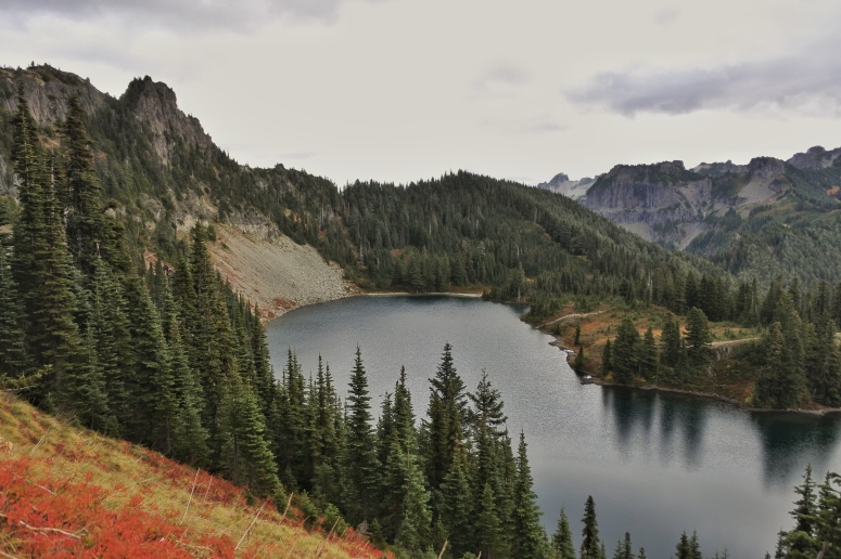
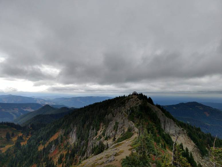
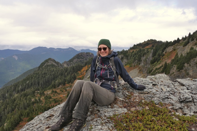
I just switched to a non-traditional work schedule (huzzah!), so for my first hike as a non-9-5er I decided to do some peakbagging in Mount Rainier National Park. I even got Cherie to agree to join me! We drove to Mowich Lake to set up camp (no fee walkup campsite, but national parks pass required), and then drove back up to the Tolmie Peak TH, although we could have walked there directly from the lake. The hike up to Tolmie Lookout Tower was straightforward. I forgot to bring my GPS over to the summit, but there was a really obvious trail from the lookout tower. Unfortunately, Mount Rainier was mostly hiding behind low clouds.
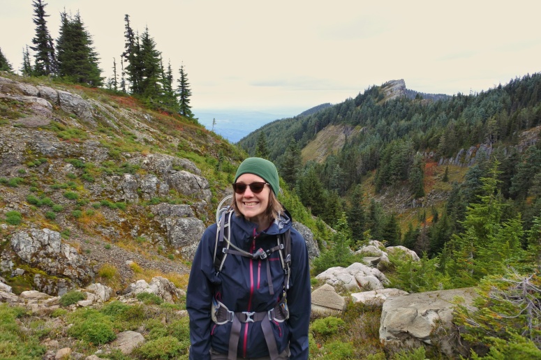
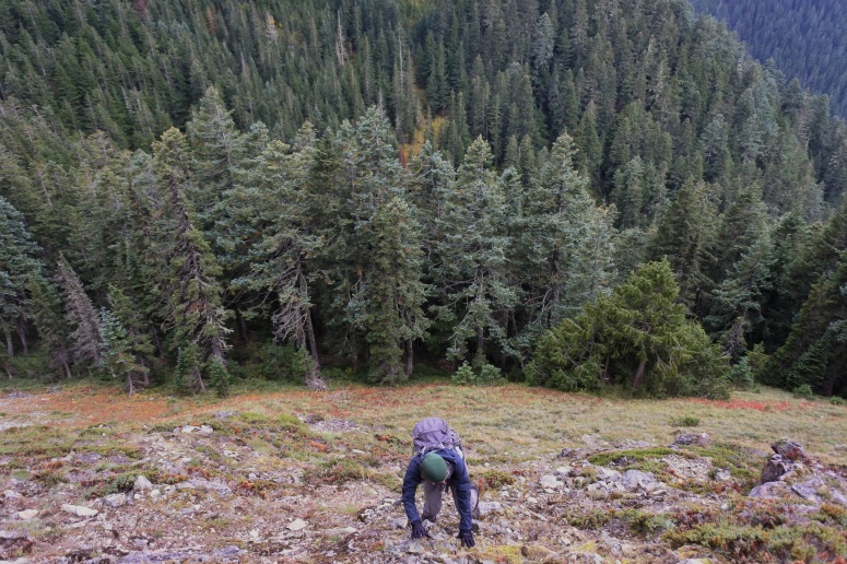
From here, we wanted to go to Howard Peak, which is off-trail. We tried two potential climber’s trails on the way down the trail from the lookout, but they both dissipated quickly. So we decided to follow Craig’s previous GPS track, even though he did it in the winter on snow. His track took us to a flat trail crossing just below the summit, where we turned right (northwest) and down a steep, bushy slope into a drainage area. We went a little too far to the north before noticing a cairn and correcting course to the right (northeast) toward Howard. We did eventually find a nice game trail which took us to the summit of Howard. I didn’t have high expectations for this peak, but it was actually really pretty thanks to a large bald on the summit.
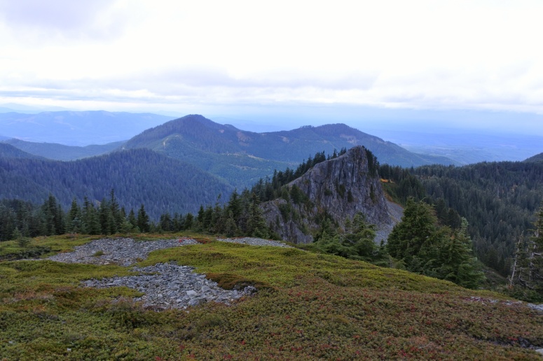
It was still early in the day, so I wanted to head west toward Florence Peak if there was a good trail to follow. We did find a nice trail (probably game trail) over to the rocky outcrop in the above photo, but west of there we couldn’t find any helpful trails so we decided to turn around. We took a lower path on the return route and it required us to do some sketchy “scrambling” up a steep, bushy rock pile. The higher route was better!
When we got back to Howard Peak, we followed a higher trail back toward Tolmie Peak, but it wasn’t really any better than the way we came. Our feet got soaked in the thick brush. I think Craig had the right idea doing this all on snowshoes.
Download GPS track
Craig’s Winter Ascent GPS track
(Download the free Gaia GPS app on your phone to view tracks and then get a Gaia GPS membership if you want offline access. Discount below!)

Gear Used:
- Gaiters (Cherie – good choice)
- GPS
- Trail runners
Post may contain affiliated links