
Distance: 7.4 mi.
Elevation Gain: 4,600 ft.
We arrived at the Mt Teneriffe trailhead at 8:30 AM. After making use of the privy and hanging our Discover Pass, we started up the trail. There were a few people on the trail but it wasn’t too crowded. We made a left at the first trail split, then right at the next trail split, toward Teneriffe Falls. The trail leading to the falls was very wide and gently graded, with the exception of some jumbled rocks just below the falls. We reached the falls at 10 AM and had lunch while admiring this force of nature.
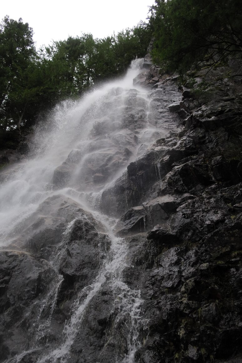
Teneriffe Falls
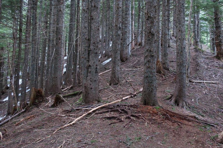
We backtracked just a tiny bit on the trail until we found the unmaintained spur trail toward the summit AKA “The Kamikaze Trail”. This isn’t on the map, but it was easy to follow the boot path. That said, it’s a climber’s trail that goes essentially straight up the side of the mountain, really burning those thighs. We briefly did easy scrambling a couple of times to help with the climb, but nothing more technical than that.
We first encountered snow about 500′ from the summit
At 500 feet from the summit, the snow appeared. It was still fairly firm but not icy. We decided to proceed without our microspikes or ice axes for the ascent. We made it to the summit just before noon and had second lunch. The summit sported amazing 360 degree views, although the clouds covered some of the higher peaks.
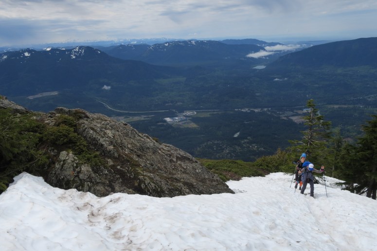
Vanessa and Rachael approaching the summit
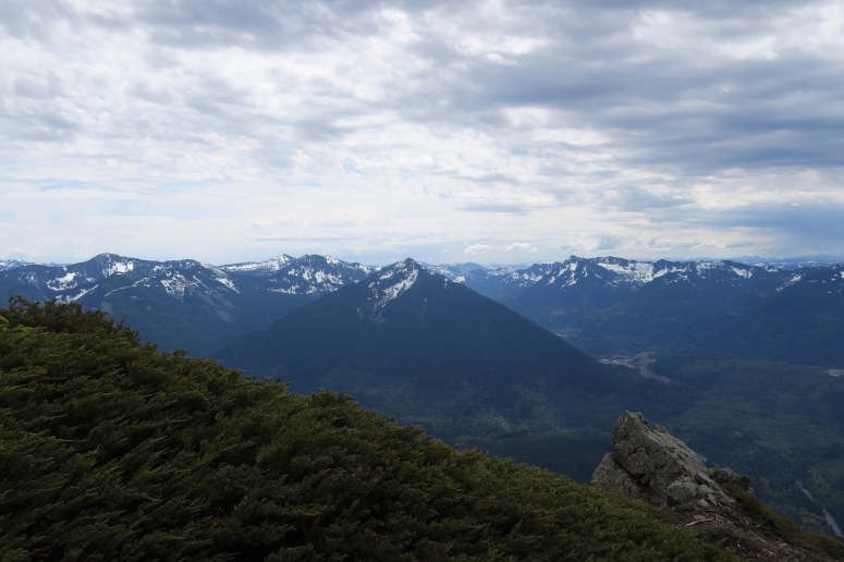
Mailbox Peak to the east
Rachael and Vanessa decided to use ice axes for the descent as the snow was a bit slippery, but not consolidated enough to actually take a ride on. Probably, the microspikes would have been more useful than the ice axes but we left those in our packs. We were able to plunge step for the most part, without much post-holing. I’m looking forward to solid summer snow. But by then, Mount Teneriffe will be snow-free, so if this part doesn’t sound appealing you probably only need to wait a matter of weeks.
We considered taking the traditional route back down the mountain to take it easier on our knees, but the intersection wasn’t obvious in the snow and we decided the known route was preferred to an unknown amount of postholing the other way. The descent wasn’t as bad as we thought it might be, but there were a few areas with rolly debris that wiped one or all of us out.
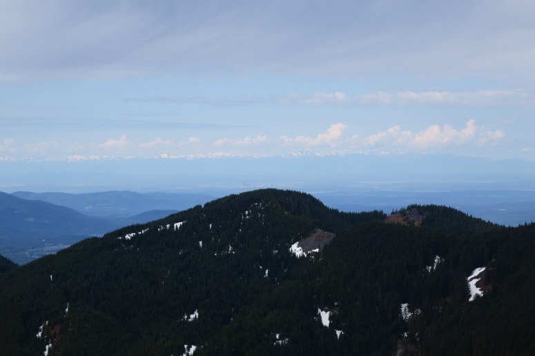
Seattle and the Olympics
By the time we returned to the falls, the trail was noticeably busier. As mentioned earlier, this part of the trail was nicely graded and a breeze to complete, even with our very tired legs. We finished at 2:30 PM.
(Download the free Gaia GPS app on your phone to view tracks and then get a Gaia GPS membership if you want offline access. Discount below!)

Recommended brew: Bale Breaker Leota Mae IPA
Gear Used:
- Aluminum ice axe
- Gaiters (Vanessa)
- GPS
- Hiking boots/Trail runners
- Trekking poles
- Microspikes brought but not used
Post may contain affiliated links