
Distance: 41.2 mi.
Elevation Gain: 13,600 ft.
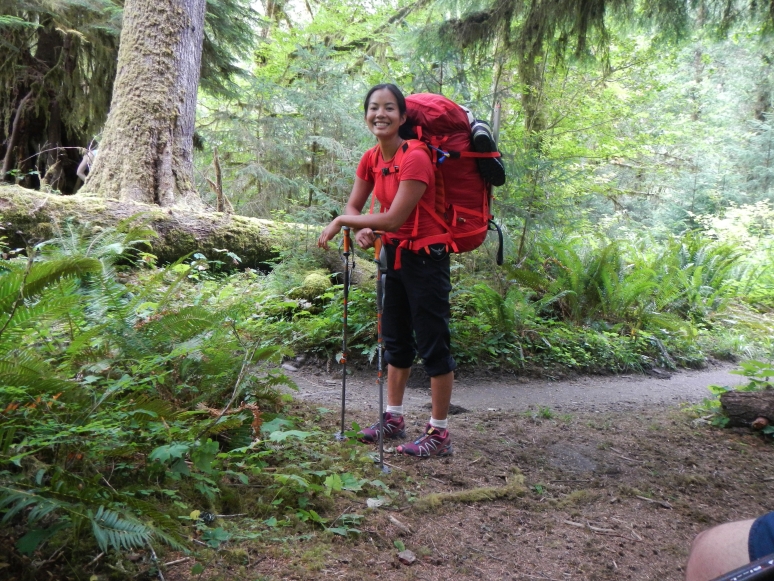
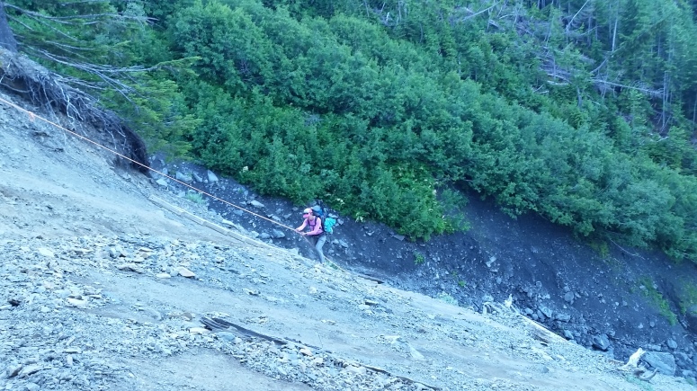
After our failed attempt at Mount Olympus in 2015, we were back with a vengeance. And we seriously upgraded by adding Sara and Tanya to the mix. We parked at the Hoh Rain Forest Visitor Center (National Parks Pass) and had a reservation at Glacier Meadows for camping both evenings. We spent the first day trudging along through the Hoh Rain Forest with wacky, heavy packs. We reached the big trail washout at 7:30 PM, walked down the rope ladder to some flatter scree below, and crossed back over to the trail. We found a couple sites at Glacier Meadows and tried going to bed early! There were a few mosquitoes around but nothing too terrible.
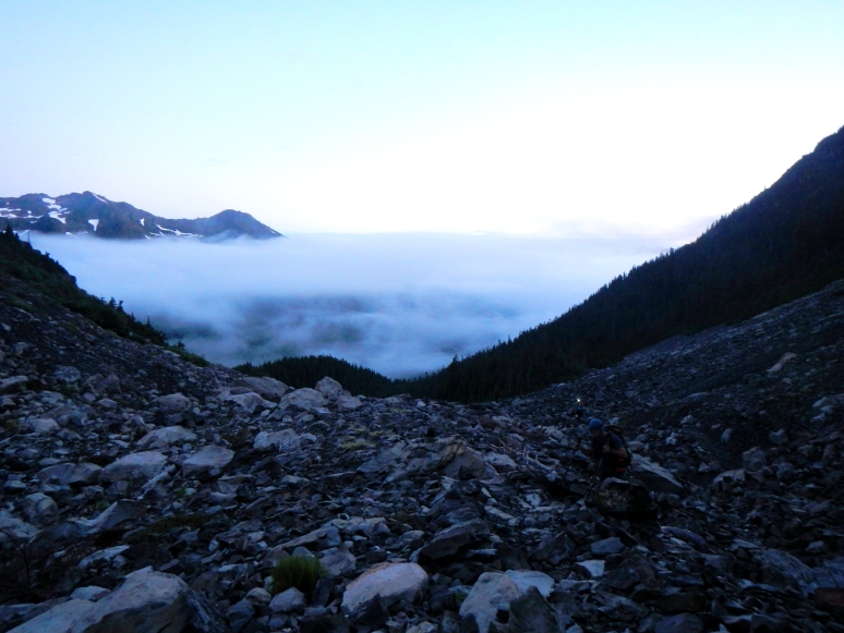
We got started just before 5 AM in the morning. We reached the terminal moraine at 5:45 and saw a cool goat! We headed down the nasty scree toward a snow finger, which graciously met us halfway.
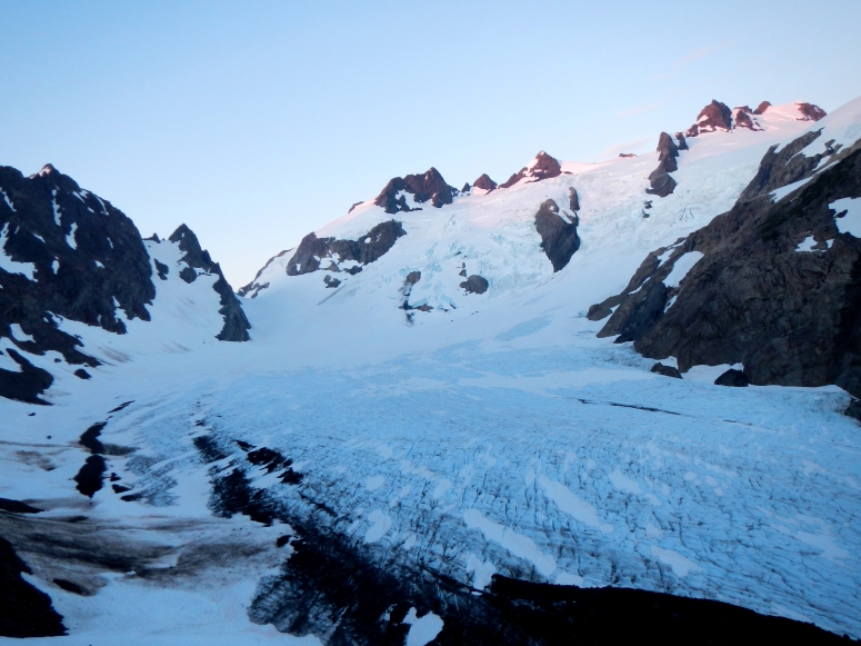
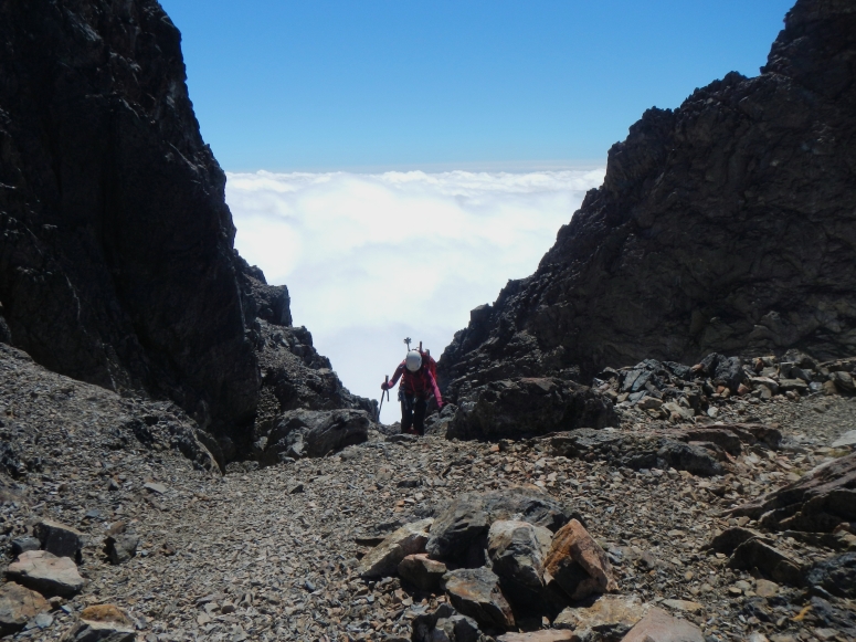
We roped up when we reached Blue Glacier, then headed northwest toward Snow Dome. From Snow Dome we took the typical Crystal Pass Route. Crevasse conditions were easily navigable except for a few areas on the south side of Mount Olympus that were opening up. We reached the false summit a bit after 10 AM, then scrambled down a bit of scree to the flat area between the false summit and the true summit. We climbed the steep snow field below the summit block and then waited our turn to climb the single pitch to the summit. Craig led the route in a flash and we followed by simul-climbing on the 60 m half rope.

Even though we were freezing our buns off in the shade below the summit, it was super warm and sunny on top! We hung out there for a bit and then rappelled down in order to retrace our steps back to camp.
We got started at 8 AM on day 3, crossed back over that gnarly washout, and finished up at 4 PM.
(Download the free Gaia GPS app on your phone to view tracks and then get a Gaia GPS membership if you want offline access. Discount below!)

Recommended brew: WTA Tangerine Pale Ale by Bellevue Brewing
Gear Used:
- ATC device
- Backpacking tent
- Gaiters
- Glacier glasses
- GPS
- Harness
- Helmet
- Locking carabiners
- Mountaineering boots
- Pickets
- Prusiks
- Rope
- Sleeping pad
- Steel crampons
- Steel ice axe
- Summer sleeping bag
- Stove
- Trad gear
- Trail runners
- Trekking poles
- Water drops/filter
Post may contain affiliated links