
Distance: 6.5 mi.
Elevation Gain: 2700 ft.
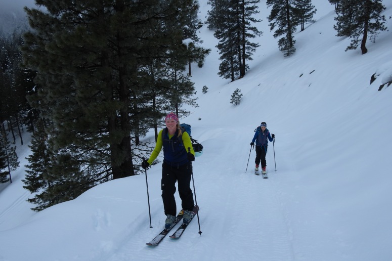
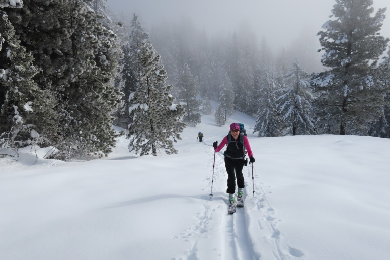
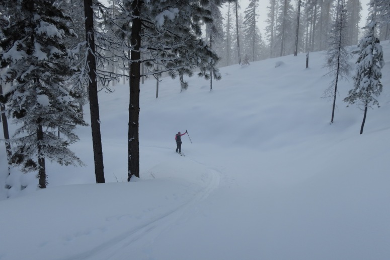
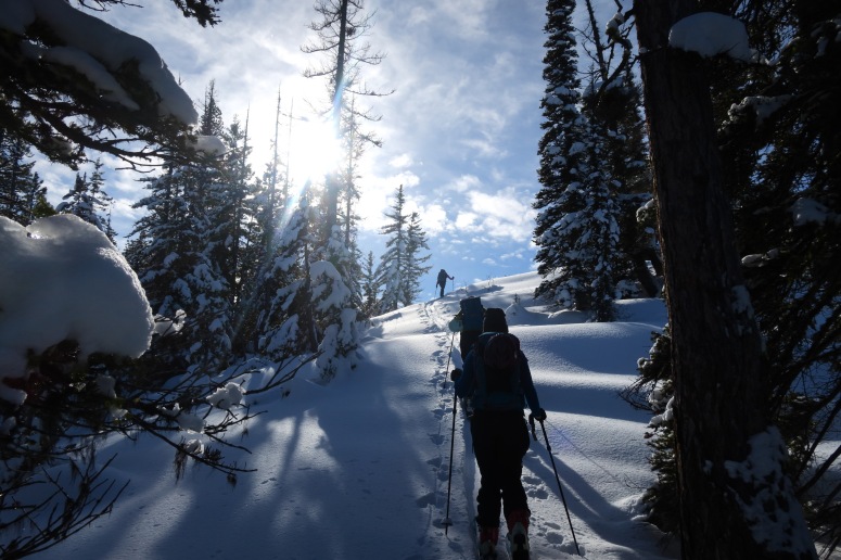
We drove to Blewett Pass from Seattle, then continued a bit farther north to the King Creek Road on the west side(just north of Old Blewett Pass Road). There is usually just enough of the road cleared to park a few cars here. We started skinning a little after 9 AM and followed the road northwest via some switchbacks on some previous skin tracks. We followed the road around to where Culver Springs are marked on the map and then headed west up the hill to reach the north ridge at about 11:30 AM and then turned left (south) toward the high point of the ridge. We had lunch there from about 12-12:30 PM, and then skied directly into the eastern bowl, sticking a bit skier’s left (north) in some of the more dense trees. Before long we found our way back down to the road and followed that most of the way down, alternatively cutting off switchbacks in the trees whenever a ski line looked nice. The road is nice and wide and mostly downhill, so not much scooching is required on the descent. It was pretty good skiing on a light crust. We were back out by 2 PM!
(Download the free Gaia GPS app on your phone to view tracks and then get a Gaia GPS membership if you want offline access. Discount below!)

Gear Used:
- Avalanche beacon/shovel/probe
- Backcountry boots/skis/skins
- GPS
- Helmet
- Trekking poles
- Water drops/filter
Post may contain affiliated links