
Distance: 7.0 mi
Elevation Gain: 2850 ft.
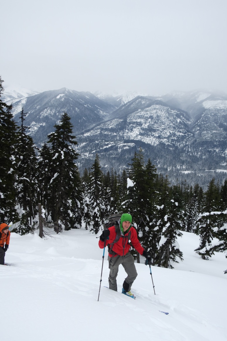
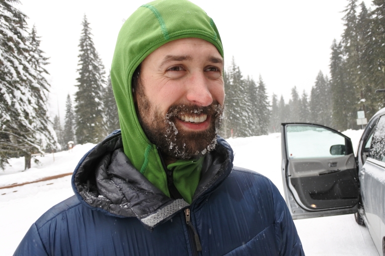
We knew we wouldn’t have much daylight to work with, but we decided to make an attempt up Red Mountain. We parked on Salmon La Sac Rd and got started skinning up NF-46 around 8:30 AM. According to our partners’ car dashboard it was -2 degrees F outside. *crying a little*
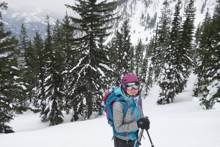
We started at a quick pace up the road to try to warm our frosty fingers. We skinned up the road for about 1.6 miles until we reached the summer trailhead that ascends the third gully on the NE side of the mountain. The true summit of Red Mountain lies on the north side of this basin. The snow was a little bit crusty down low but it was pretty powdery above 4,000 feet. By the time we reached the open slopes on the east side of the summit: 1) it was really cold and windy, 2) the clouds were starting to roll in, and 3) we started noticing styrofoam-y wind-affected snow. Altogether, we decided it was a good idea to turn around.
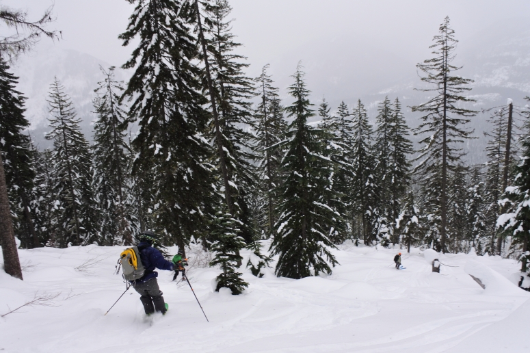
We had some exciting skiing in dense trees (especially the crusty areas) back down to the road, and then turned right and had an easy glide back to the car. We finished at 1:30 PM.
(Download the free Gaia GPS app on your phone to view tracks and then get a Gaia GPS membership if you want offline access. Discount below!)

Recommended Brew: Uinta Hop Nosh IPA
Gear Used:
- Avalanche beacon/shovel/probe
- Backcountry boots/skis/skins
- GPS
- Helmet
- Trekking poles
Post may contain affiliated links