
Distance: 8.0 mi.
Elevation Gain: 3,300 ft.
We were chased away from a trip to Wyoming early thanks to rain, but it looked relatively dry in the Teanaway Range (a common occurrence due to it sitting in the rain shadow of the Cascade Range). So we decided to go up Esmeralda on our drive home.
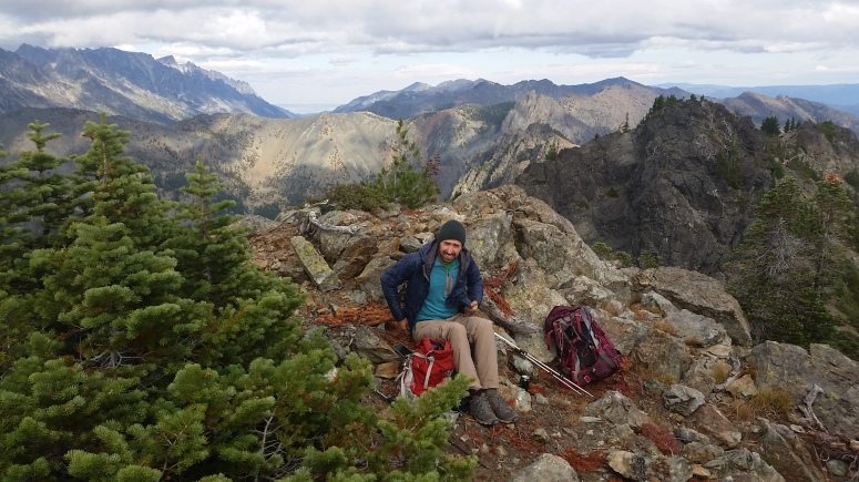
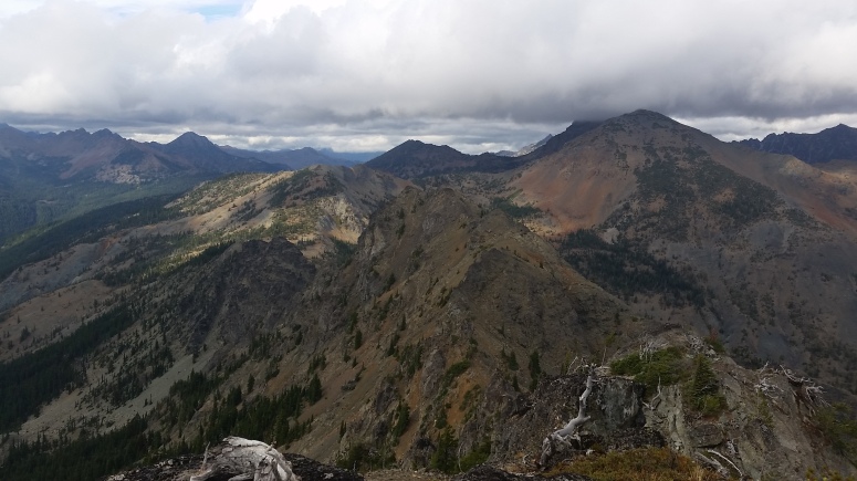
We reached the DeRoux Creek Trailhead at 2:45PM and headed up the creek toward Gallagher Head Lake. We stayed on the trail until about 5500 feet at the final large switchback before the trail reaches the lake. We continued beyond the switchback to the east and then headed northeast according to Craig’s approximation with the GPS. We had to trudge through low bushes for a short while before we could get onto a talus field. The field was steep and there were many acceptable ways up the slope – none seemed better than the others. We ascended directly to the notch between the two summits and then turned left (northwest) along some steep scree and then made our way onto the summit. We had some lunch on the rocky outcrop. It was a cloudy day but we did have some nice views of the surrounding peaks.
We looked for a more intuitive path on the way back down, without much luck. We eventually made our way back to the trail and had an easy hike back out. And we did indeed manage to stay dry!
(Download the free Gaia GPS app on your phone to view tracks and then get a Gaia GPS membership if you want offline access. Discount below!)

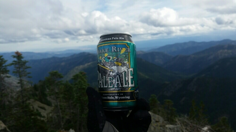
Recommended brew: Snake River Pale Ale
Gear Used:
- GPS
- Trail runners
- Trekking poles
Post may contain affiliated links