Distance: 36 mi.Elevation Gain: 13,400 ft. While Craig was busy climbing in the Olympics, I was on the other side of the country on a peak bagging…… Read more “2019-05-25-28 Franconia Notch to Crawford Notch Backpacking”
Tag: peakbagging
2018-10-02 Martin Peak and Virginia Peak
Distance: 3.2 mi.Elevation Gain: 1600 ft. After spending the night at Mowich Lake, I relaxed at the campsite for a bit before driving down the road a…… Read more “2018-10-02 Martin Peak and Virginia Peak”
2018-10-01 Tolmie Peak and Howard Peak
Distance: 8.3 mi.Elevation Gain: 3600 ft. I just switched to a non-traditional work schedule (huzzah!), so for my first hike as a non-9-5er I decided to do…… Read more “2018-10-01 Tolmie Peak and Howard Peak”
2018-08-12 Jolly, Humerus, and Sasse
Distance: 7.4 mi. Elevation Gain: 4400 ft. We started hiking along Sasse Mountain Trail from the upper trailhead at about 9:30 AM. We continued straight at the…… Read more “2018-08-12 Jolly, Humerus, and Sasse”
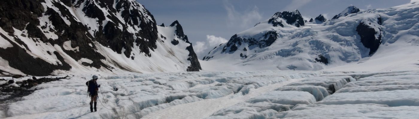
2018-07-05-07 Bonanza Peak
Distance: 14.8 mi. Elevation Gain: 6750 ft. This is probably the most planning we have done for a peak in Washington. First we reserved a roundtrip ferry…… Read more “2018-07-05-07 Bonanza Peak”
2018-05-13 Three Brothers
Distance: 11.4 mi.Elevation Gain: 5,500 ft. We arrived at the Stafford Creek Trailhead at 9:30 AM and backtracked from the parking area past the privy a bit…… Read more “2018-05-13 Three Brothers”