
Distance: 3.2 mi.
Elevation Gain: 1600 ft.
After spending the night at Mowich Lake, I relaxed at the campsite for a bit before driving down the road a ways toward an unmarked trail. It was difficult to find, but I parked where it was supposed to start according to my GPS, and suddenly it appeared.
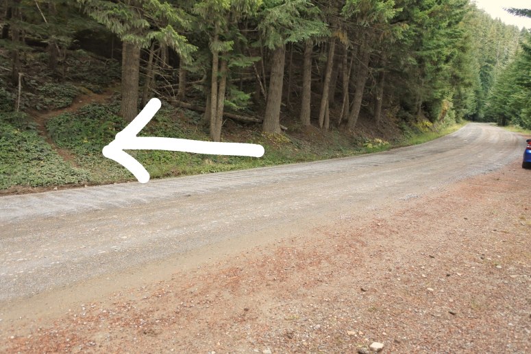
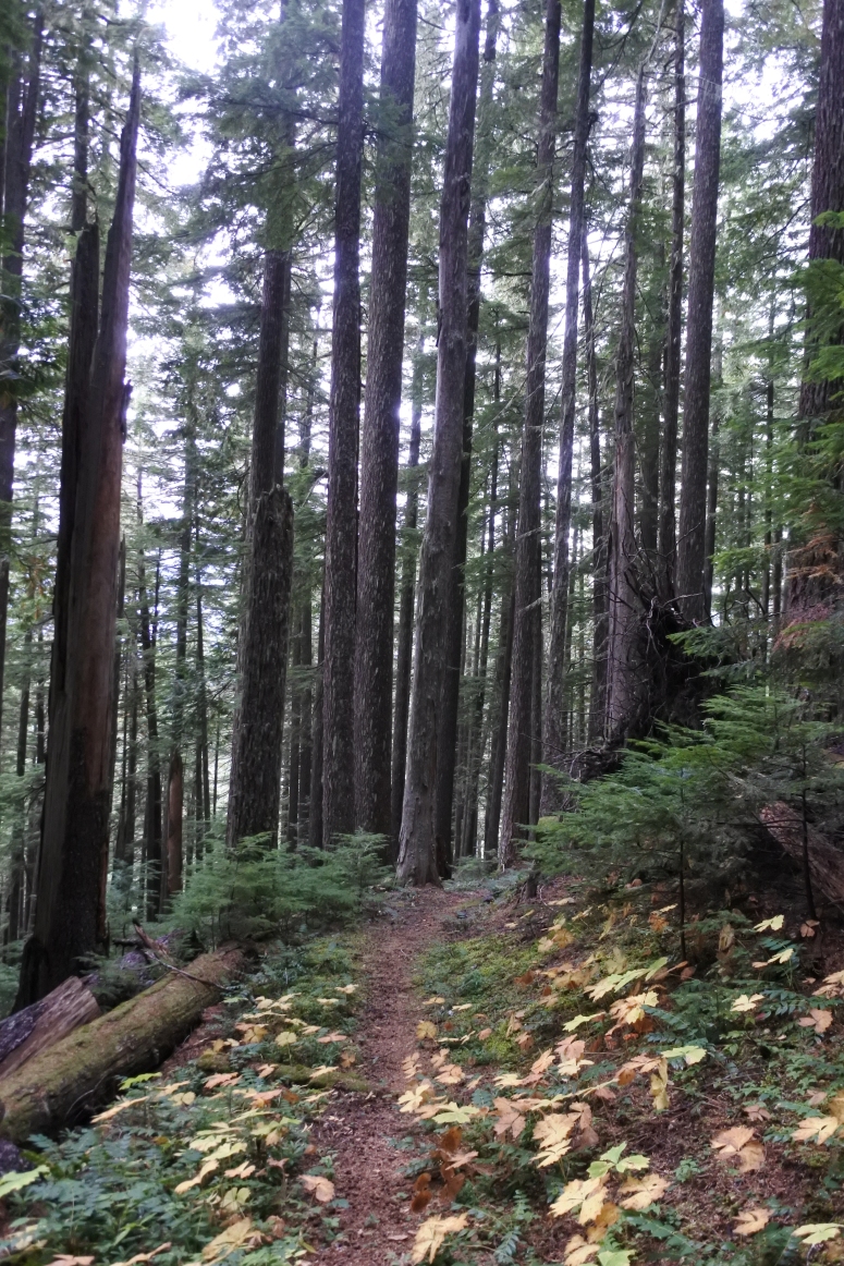
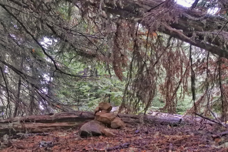
Although the trail didn’t have any signage from the road, it was in pretty good shape overall. Just a tiny bit overgrown with some plant shoots.
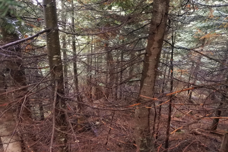
When I reached the northeast ridge of Martin peak I turned left (southwest) along the ridge. There was no climber’s trail and the undergrowth was wet, so there was a lot of slipping and sliding while climbing over and under downed trees. I kept trying to grab dead logs for support, but the decaying logs would just break apart and I’d end up rolling downhill in a pile of dead tree bits. Overall hike score: 2/10. If you’ve been wowed by the photos on this site before, the following will really knock your socks off (okie not really).
From here I went back down the northeast ridge of Martin, although I descended too far to the left, which took me over even steeper slippery duff. I checked my GPS and was able to correct course. I returned to the trail for a short while before turning slightly off trail to the right (northeast) toward Virginia Peak. This ridge was more open and pleasant than the hike up Martin, although it was still pretty brushy. Craig did this hike in the winter, which is probably the right choice.
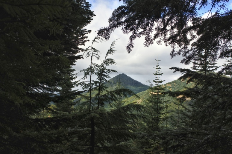
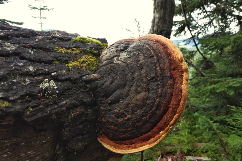
I checked the north side of Virginia Peak, considering to try for Berry, but it was getting super foggy and the descent didn’t look pleasant. I made my way back down to the main trail and turned right (north) toward August. Soon it got even foggier, darker, and windier on the trail and I wasn’t having fun anymore, so I made my way back out. If you’ve made it this far in my underwhelming trip report, I’m very impressed. Here’s a cool mushroom from Martin Peak 🙂
Download GPS track
Craig’s Winter Ascent GPS track
(Download the free Gaia GPS app on your phone to view tracks and then get a Gaia GPS membership if you want offline access. Discount below!)

Gear Used:
- GPS
- Rain pants
- Trail runners
Post may contain affiliated links