Distance: 6.6 mi.
Elevation Gain: 3500 ft.
My friend Jenna (founder of Get Outside Adventures) was in town from Canmore, Canada, and I promised to take her on a Washington adventure. Luckily the weather was cooperating, so we chose Bandera Mountain for the short-ish drive from Seattle. The road to the trailhead was bumpy but I got the Honda Fit through just fine. We started hiking at 10:30 AM.

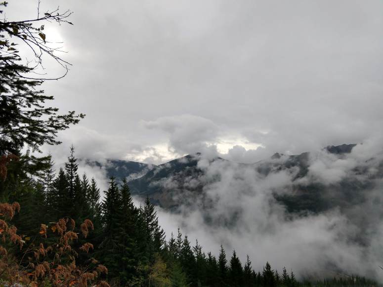
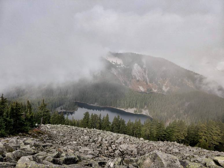
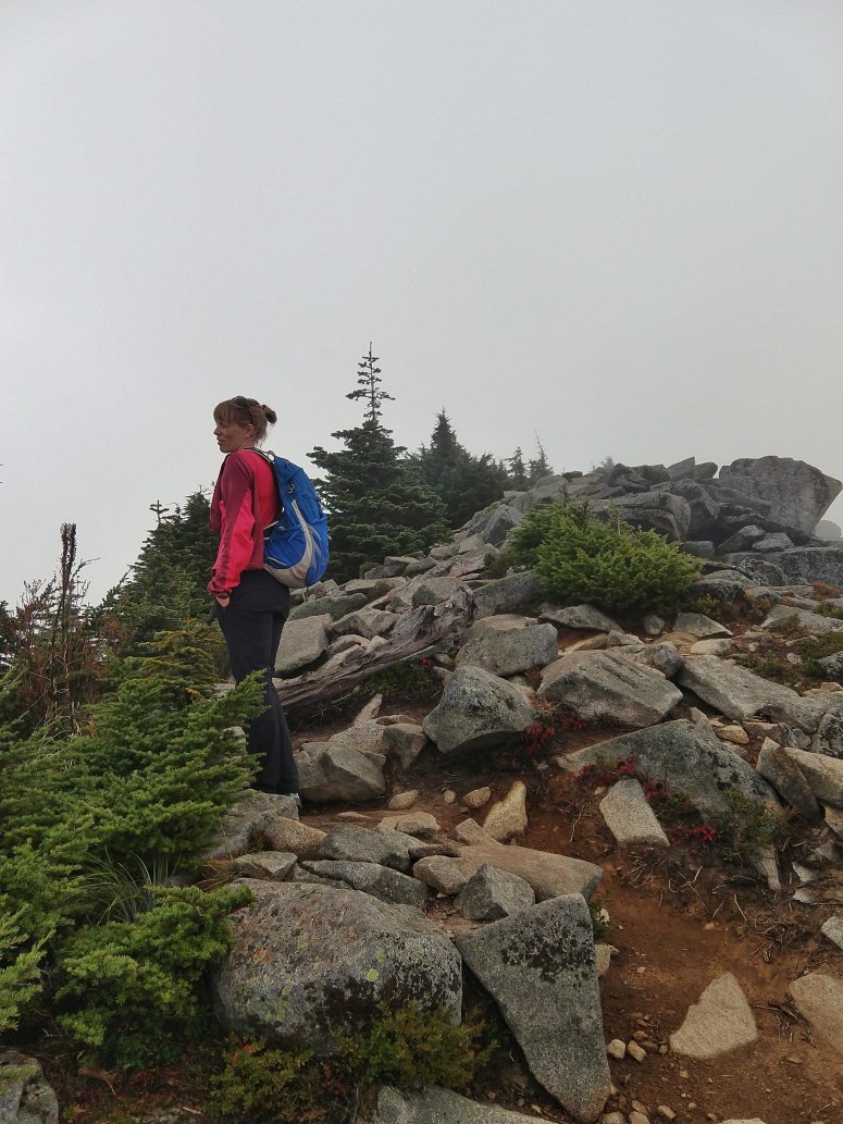
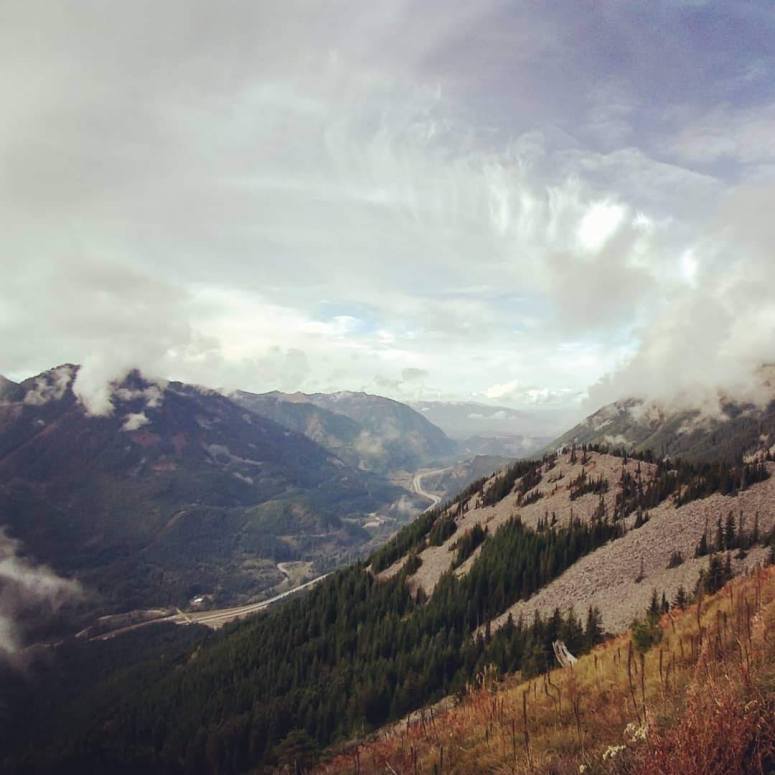
What fun to do this hike with a visitor – Jenna was blown away by the fall colors that I have become accustomed to. The trail climbed gently until the trail split with the trail to Mason Lake (stay right here). Then the trail became much steeper and rockier to the hiker’s summit, which is actually the West Peak of Bandera Mountain. There was some fun boulder hopping that might be a little tricky in the rain. The views were mostly obscured by low clouds, but it did start to clear as we were heading back down. We didn’t continue to the true summit, which is further east.


We retraced our steps and finished at about 1:30 PM. I’ll have to nab the true summit on a clear day!

(Download the free Gaia GPS app on your phone to view tracks and then get a Gaia GPS membership if you want offline access. Discount below!)

Gear Used:
- GPS
- Trail runners
- Trekking poles (Vanessa)
Post may contain affiliated links
