Distance: 28.7 mi.
Elevation Gain: 10,802 ft.
We waited a bit too long to reserve any of the popular campsites along the Seven Lakes Basin loop, but we were still able to reserve a campsite at Swimming Bear Lake in late July. This campsite is off the beaten track but closer to Mount Carrie which we wanted to climb. The campsite cost $8 per person, plus the National Park entry fee, and required a bear canister.
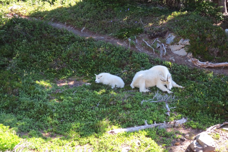
We took the ferry over on Saturday morning and started day 1 of our hike at 11:30 AM. We had a nice hike up toward Seven Lakes basin via the southern (right-side) leg of the loop without too many bugs or obstacles. We passed Deer Lake at 1:30 PM and had a snack. When we reached the spur trail to Bogachiel Peak we decided to run up to the top of that, which only took about 10 minutes to get up and afforded us some nice views of the surrounding hills. From there we got back on the main trail and continued left (east) toward the High Divide. We saw a family of mountain goats resting in the shade, and then a bear shortly after! All of these wild animals we completely unperturbed by the hikers walking by and just continued doing their own thing. Soon we could see the Seven Lakes Basin on our left (to the north). The alpine lakes were a deep blue against the surrounding sandy dirt.
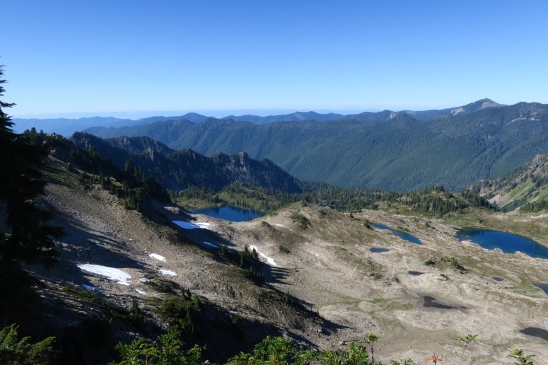
Seven Lakes Basin
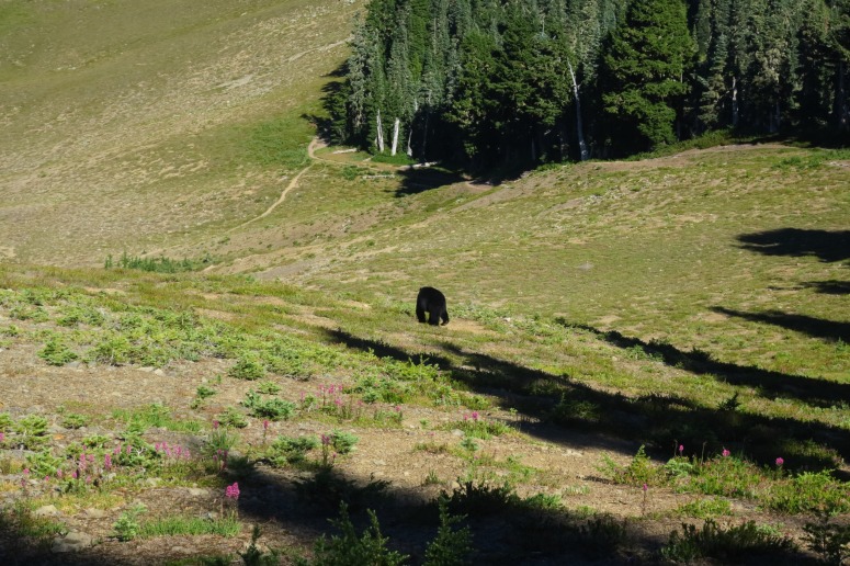
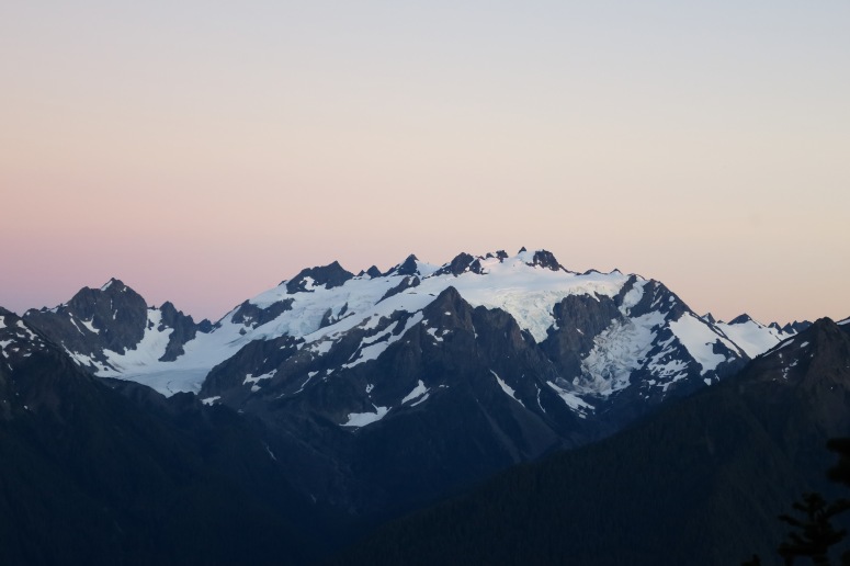
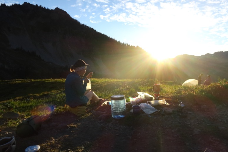
Rather than continuing left on the main trail toward Heart Lake, we took a side trail right (to the east) toward Mount Carrie. It had been a 12 mile-plus day already, so our feet were dragging as we curved down and around, seemingly forever, toward Swimming Bear Lake. We finally arrived at our destination for the evening and set up camp. As we had dinner and chatted over beers, we saw three different bears chomping on blueberries in the hillsides surrounding us. It was so cool! We had a lovely sunset that evening and a great sunrise the next morning, too. We did see another bear (or one of the same previous bears?) in the morning, who we accidentally spooked and he charged uphill away from us. Nevertheless, we were glad to have our food safely stored in the bear canister.
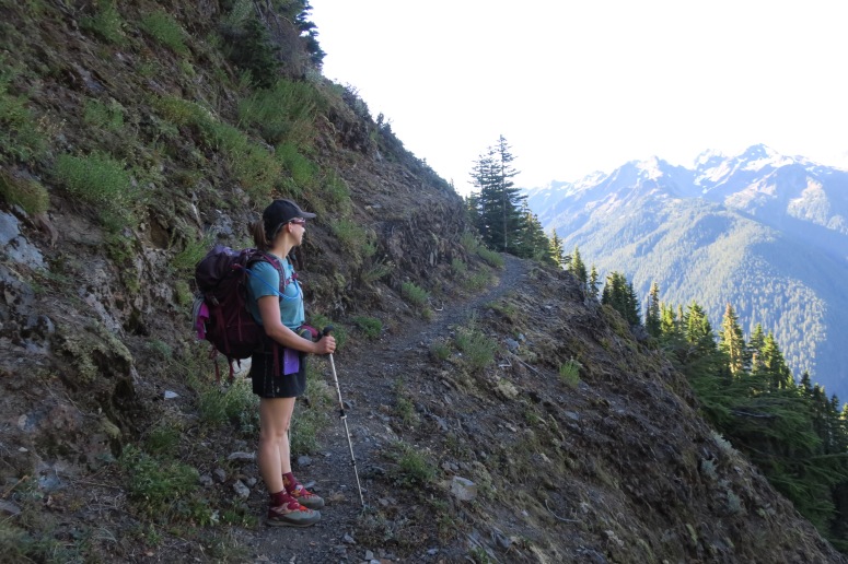
We left our overnight gear at the trail crossing and headed back east toward Mount Carrie at around 8:30 AM, a bit later than we had hoped. At first the trail was wide and well-maintained as we cruised through some dense forest, but soon it curved left around the southern side of Cat Peak along some very thin, crumbly ledges. The drop-off wasn’t extremely steep, and we thought we could probably stop our fall if we did start tumbling downhill, but none of us wanted to test this out. So the progress was fairly slow as we carefully watched our footing.
We eventually reached an impassable ravine and realized we had just missed a cairn telling us we should start climbing directly uphill toward the ridge between Cat and Carrie Peaks. The “trail” was steep and dusty after a recent dry spell, making it a somewhat challenging climb. When we reached the ridge at about 10 AM, Maya decided to rest in a small clearing while Craig, Vanessa, and Adam continued east toward Mount Carrie.
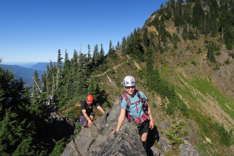
The ridge between Cat and Carrie Peaks required both up and down scrambling but it wasn’t terribly difficult to find our way along the boot track.
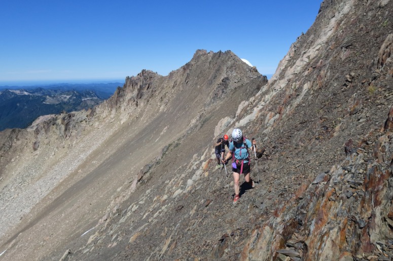
Eventually, we arrived at the base of our climb and headed left (north) toward the summit. Once again, we attempted to follow some faint boot tracks, but it was mostly a choose-your-own-adventure situation on this unpopular climb. We eventually needed to traverse high right (east) toward the high point, which required us to cross a very steep, loose, and unstable scree field. Somehow we managed our way across.
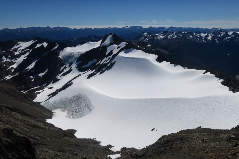
View north from the summit of Mount Carrie
There were a couple of patches of snow on the slope that we mostly avoided since we didn’t have axes. We reached the summit at 12 PM and quickly realized that poor Maya had been waiting for us for 2 hours, and it wasn’t going to be that much faster going down. Without delay we retraced our steps, but didn’t reach her until just before 2 PM. We started shouting when we thought we were within earshot along the ridge, which she told us made her feel much better.
From there, we all continued down together. I should mention that we seriously underestimated the 1) amount of time and 2) amount of water we would need for this ascent. So all of us were feeling pretty parched. Vanessa decided to hike ahead of the rest to start filtering water for the group at Heart Lake, since there weren’t any water sources along the way. We reconvened at Heart Lake at 4:30 PM and chugged lots of tasty alpine lake water.
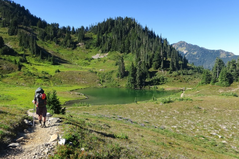
Heart Lake
From here, we still had a lot of distance to cover. We curved north at Heart Lake and then northwest to follow the northern end of the loop along Sol Duc river. The trail down was pretty straightforward but we still didn’t reach the exit until about 8:30 PM. By this point, it was past dark and our feet felt like angry bags of garbage. Overall, it was a fun and challenging hike with the added excitement of bear sightings, but it would have been better with a campsite directly along the trail and an earlier start on day 2.
(Download the free Gaia GPS app on your phone to view tracks and then get a Gaia GPS membership if you want offline access. Discount below!)

More Photos
Recommended Brew: Golden Road Wolf Among Weeds IPA
Gear Used:
- Backpacking tent
- Bear canister
- GPS
- Helmet
- Sleeping pad
- Summer sleeping bag
- Stove
- Trail runners/Approach Shoes
- Trekking poles
- Water drops/filter
Post may contain affiliated links