Distance: 25.2 mi.
Elevation Gain: 6800 ft.
While Vanessa was off hiking in the Enchantments for the first half of the July 4th week, I decided I should probably work on Monday and Tuesday, since we had already taken the second half of the week off to do Bonanza Peak. I was able to work remotely for those two days however, so I made plans to head up to Mazama and hang out with Brian and Michelle at their house there. The 3 of us had some unfinished business from a previous trip to the Pasayten in which we were rained and snowed on for several days in late July 2014. During that trip we still managed to scramble up Amphitheater Mt. and Cathedral Peak, but failed trying to scramble the north ridge of Remmel in a misty cloud. As it turns out we were only a few feet away from the summit, but we didn’t know that at the time.
This time we decided to go fast an light and do the standard southern route up Remmel as a day trip. We didn’t go quite as quick as we had originally hoped, but overall the trip was pretty great.
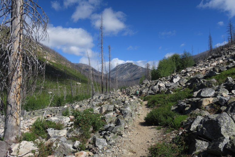
We awoke early and make a nice hearty breakfast at Brian and Michelle’s before heading out toward Winthrop. We decided Picket could come with, a decision he very much enjoyed. We started hiking around 7:15 AM. The day was nice and cool, quite the contrast from the very hot temperatures the last time we hiked up the Andrews Creek trail. We hiked a little over 9 miles up Andrews Creek before heading off trail following an unnamed creek northward to the low point between Remmel and Coleman Ridge. There were a lot of downed trees through here from a large 2003 fire, but it got better pretty quickly as we got higher. This basin turned into a beautiful lush green stream that we all loved. There were also some faint signs of an old trail through here and we spotted a few old insulators affixed to trees that likely carried and old telegraph line up to the Remmel lookout a long time ago.
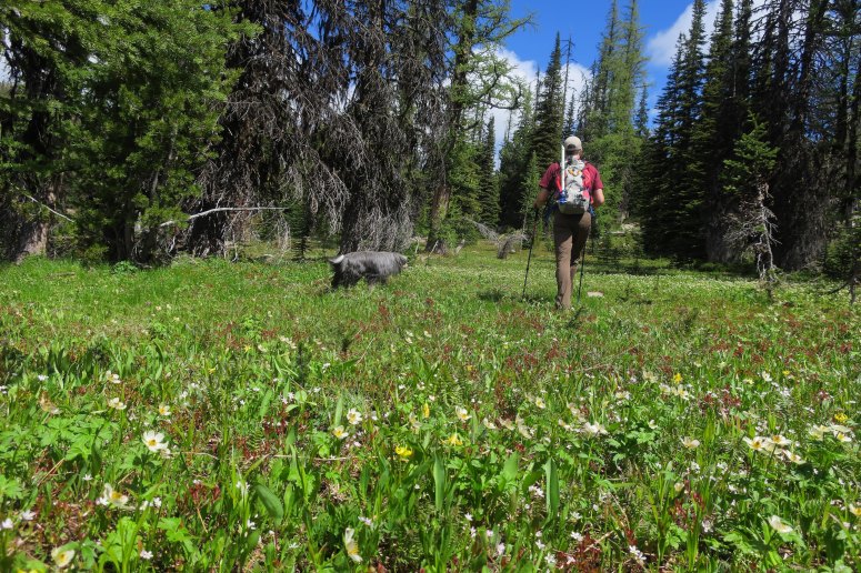
At the top of this basin we couldn’t initially find the Coleman Ridge trail, but some cairns and my GPS guided us to where we found the faint trail. We followed this northward where it eventually descended about 250′ and crossed a few snow patches and a large talus field to get around a large buttress and to Four Point Creek. We were able to kick good steps in the soft snow or bypass it entirely. We ended up not needing the microspikes and ice axes we brought along….but at least we were prepared!
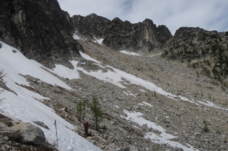
When we reach the Coleman Ridge trail crossing Four Point Creek we stopped for a lunch break. This is where the climbing trail to the peak splits off as well. We lost track of that trail under some snow patches low in the basin, but the higher we got the nicer the trail seemed to get. We were pretty amazing at what great shape the unofficial trail was in, especially when compared to the Coleman Ridge trail. The upper reaches of this basin were pretty great as well; we passed many larches with their fresh green needles. This would be an amazing place to be in the fall as well.
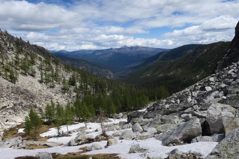
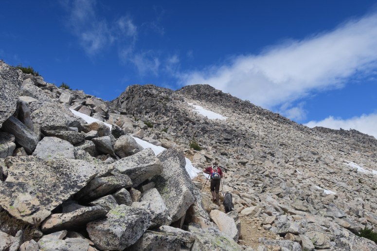
We spent a good amount of time at the summit relaxing and enjoying the views. We tried to piece together where we must have stopped when we were in the fog and after consulting my GPS we decided it must have been just a few hundred feet below the summit. Either way, we made a good decision to turn around that day and we had a geat time on our hike up on this day. However. as we were nearing the top that Michelle’s knee started bothering her. Nothing too debilitating, but definitely not something that would allow her to rush on the way down. Picket was surprisingly spry the whole way for a 9 year old dog though!
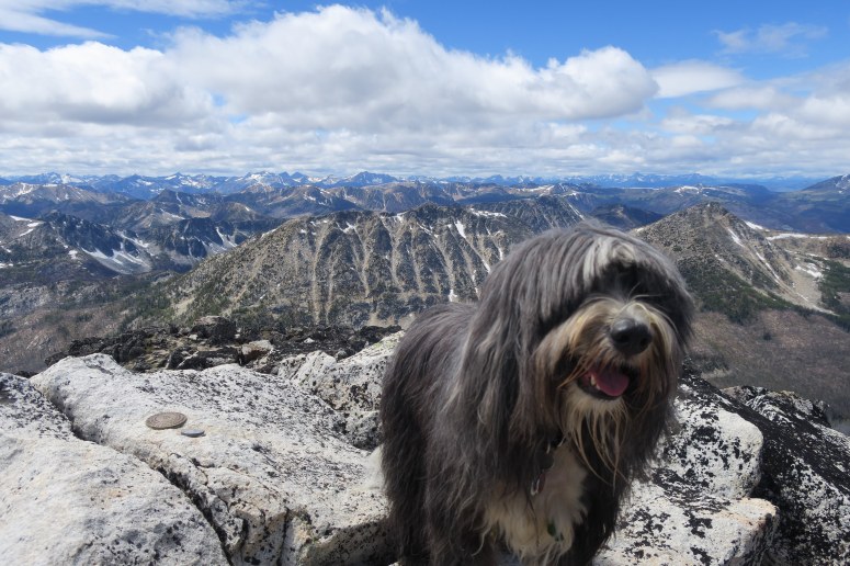
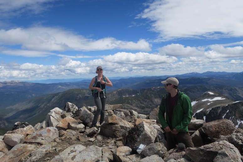
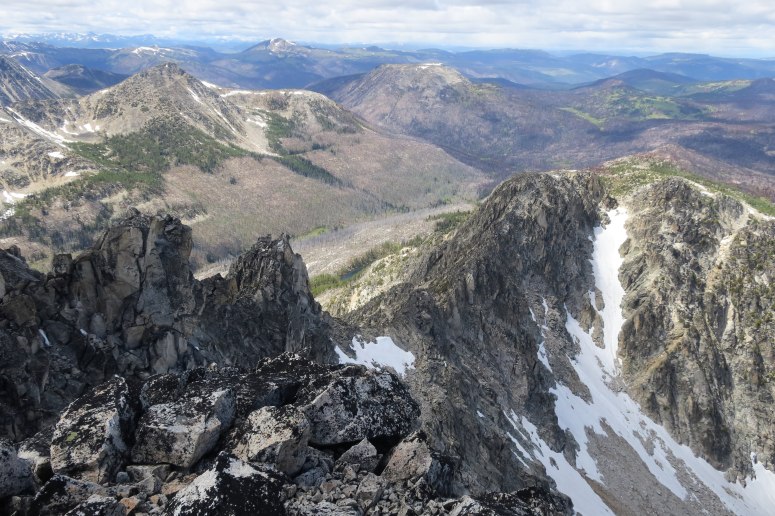
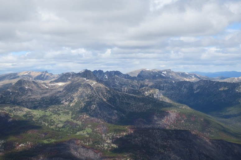
On the way down we just retraced our route up. Michelle had to gingerly do some of the steeper downhill sections, but we made it back to the Andrews Creek trail by about 5 PM and were ready for the long flatish hike out. We did however stash a Fort George Vortex IPA tall boy in Ram Creek, about 6 miles from the trailhead. That served as a tasty treat for the last bit. Michelle did better on the flat trail and we managed to make it out to the car just before 9. It was nice to be able to drive most of the way back before it got really dark. All in all it was a great long day trip with fantastic weather and some sweet sweet vengeance.
(Download the free Gaia GPS app on your phone to view tracks and then get a Gaia GPS membership if you want offline access. Discount below!)

Recommended brew: Fort George Vortex IPA
Gear:
- Aluminum ice axe (not used)
- Glacier glasses
- GPS
- Microspikes (not used)
- Trail runners
- Trekking poles
- Water drops
Post may contain affiliated links
