
Distance: 4.77 mi.
Elevation Gain: 2567 ft.
We were spending New Year’s in Winthrop and got a slow start to the day. We reached the end of the plowed area of Highway 20 (Silverstar Gate 7 miles west of Mazama) by 12 PM and reached the trailhead after about a mile of skinning on Highway 20.
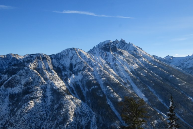
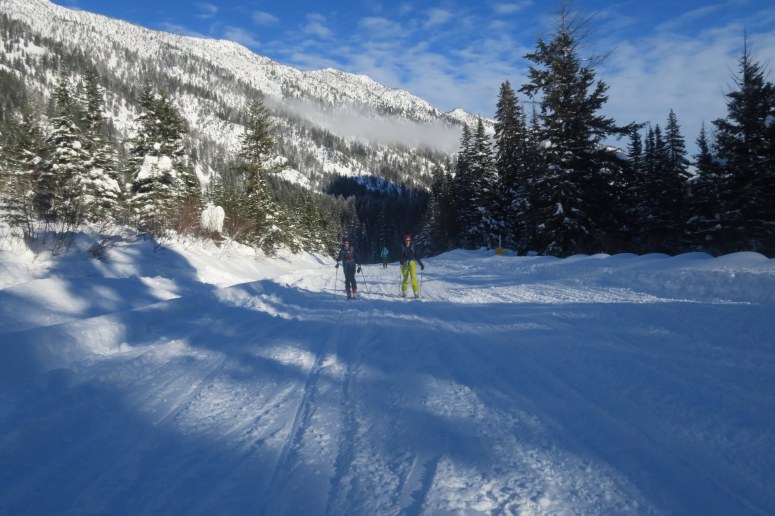
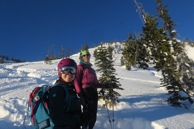
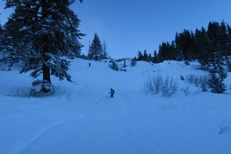
We headed north from the highway, following a well-defined skin track. The grade of the track was pretty nice and consistent. With this being one of the shortest days of the year, we made a hard turnaround time at 3:30 PM, so our high point was about 6,600 ft (600 ft below the ridge).
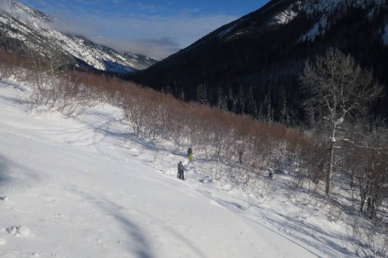
The snow was a bit heavy but we had some fun turns before returning to the brushy bottom section, which was akin to martial arts training with all the dips and dodges as we skied through closely packed branches. Half of us put skins on for the highway, while the other half scooched and skated. By the time we reached the car, the sky was already pretty dark!
(Download the free Gaia GPS app on your phone to view tracks and then get a Gaia GPS membership if you want offline access. Discount below!)

Recommended brew: Old Schoolhouse Imperial Stout
Gear Used:
- Avalanche beacon/shovel/probe
- Backcountry boots/skis/skins
- GPS
- Helmet
- Trekking poles
Post may contain affiliated links