
Distance: 9.3 mi.
Elevation Gain: 3950 ft.
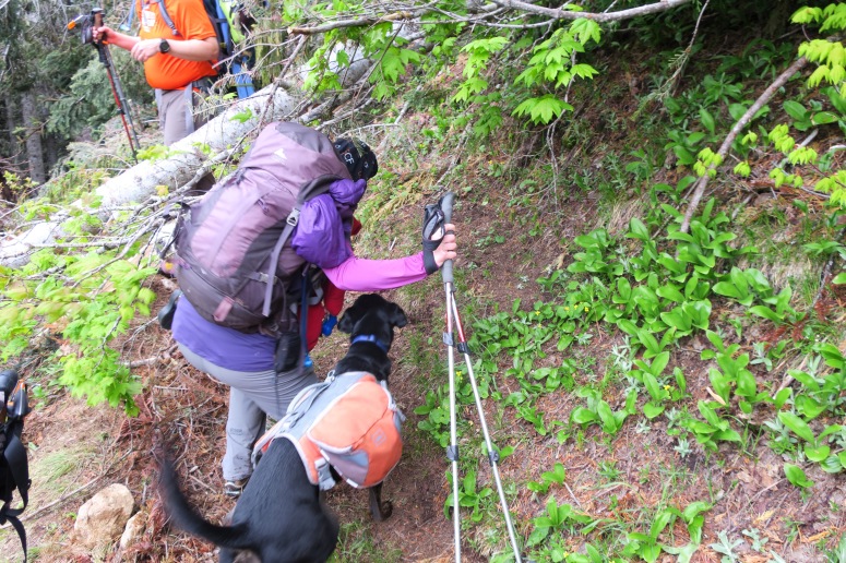
We started on dry ground around 9:30 AM. Craig and Brian brought skis, which they carried up the trail, while Vanessa and Laura booted it. Baby Emma and dogs Otto and Cricket were along for the ride. It was a slow-going process as we navigated snow patches and downed trees on trail with babies and all.
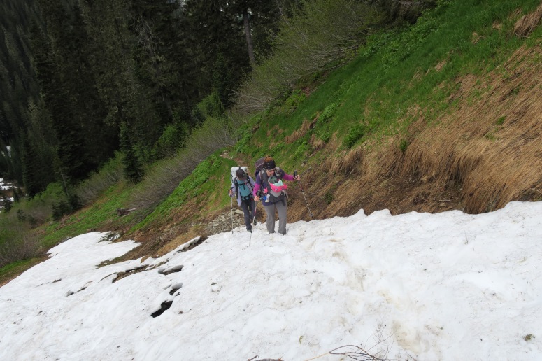
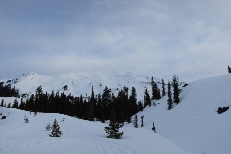
We also went too high (northeast) en route to Hannegan Pass and had to backtrack a bit. We made it to the pass at 1:30 PM. Brian and Laura stopped there for lunch with Emma and the dogs. Craig and Vanessa continued on southeast to see if the summit of Ruth was in the cards. We climbed toward a ridge but didn’t know whether to go around the east or west side of it toward the summit. Other boot tracks had gone to the east side but it looked kind of sketch with cornices above. We traversed southward low on the west side instead, but we making slow progress in the soft snow. We decided to abandon our attempt and see if we could meet back up with Brian and Laura.
We turned around at about 2:30 PM. Brian was doing some ski laps at the pass so luckily they were all still there. We retraced our steps and finished around 5 PM.
(Download the free Gaia GPS app on your phone to view tracks and then get a Gaia GPS membership if you want offline access. Discount below!)

Gear Used:
- Backcountry boots/skis/skins – Craig and Brian
- Glacier glasses
- GPS
- Helmet
- Hiking boots – Vanessa and Laura
- Trekking poles
Post may contain affiliated links