
Distance: 9.1 mi.
Elevation Gain: 4200 ft.
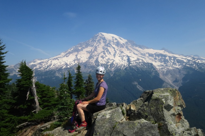
It was a really smoky and hot day in Washington, but we decided to do some hiking in Rainier National Park. We started at 9:30 AM. The trail up to Eagle was very mosquitoe-y. We worked our way behind Eagle by following a faint trail in order to reach the scramble ascent on the west side of the peak via a brushy ledge, which we preferred to the steeper climb south of the summit.

Brushy ledge on the west side of Eagle
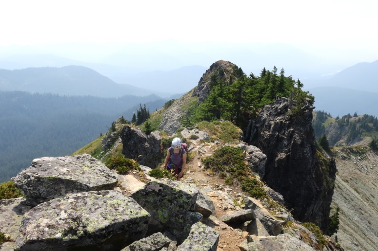
We retraced our steps and then crossed the main trail again to climb Chutla Peak. This involved some fist fights with shrubs, but we were able to follow the pretty distinct path to the summit.

We returned to the main trail once more, then descended toward the forest. Just as the scree field on our left met the forest, we cut left (southeast) on a faint path toward Wahpenayo Peak. The meadow here was pretty, but created a challenging ascent with steep sidehilling on slippery grass and dirt, not to mention biting flies. Once we got back on rock, there was a distinct bootpath to the summit.

We finished the day around 4:30 PM, a little worse for the wear with smoke-filled lungs and a few dozen bug bites. But a day of hiking is always better than sitting at home!
(Download the free Gaia GPS app on your phone to view tracks and then get a Gaia GPS membership if you want offline access. Discount below!)

Gear Used:
- GPS
- Helmet
- Trail runners/Approach Shoes
- Trekking poles
Post may contain affiliated links