
Distance: 14.2 mi.
Elevation Gain: 4800 ft.
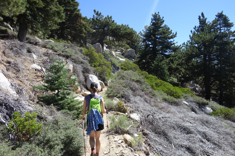
We were in California for a wedding, so we decided to run up San Jacinto Peak on our way to the San Bernardino Mountains. We started from the Humber Park trailhead at 9 AM after flying into Ontario the evening before and staying in a seedy motel in Hemet. The trail was easy to follow and mostly went north all day.
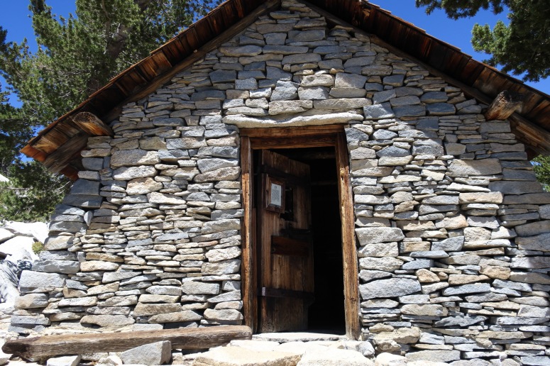
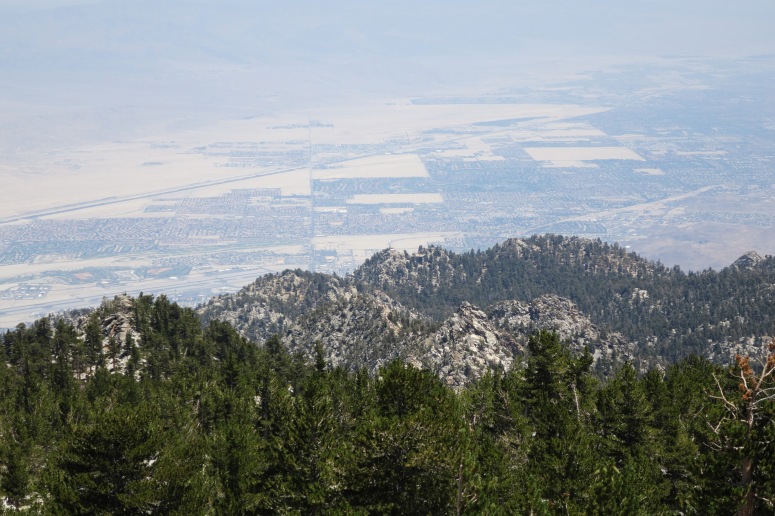
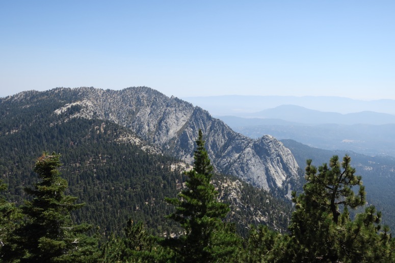
After seeing only a handful of people on the entire lower trail, we reached the point where the trail from the gondola arrives just below the summit, and suddenly the trail was insanely crowded. There was a cool hut at the top that we could enter. We reached the summit at 12:45 PM and found a large boulder to crouch beneath for a shaded lunch. The views looked out onto desert in all directions, which looked pretty sad and monotone to my PNW self.
We began heading down at 1:20 PM, once again dodging the crowds, and retraced our steps to return to the car at 4 PM. Of note, there was no water on trail.
(Download the free Gaia GPS app on your phone to view tracks and then get a Gaia GPS membership if you want offline access. Discount below!)

Recommended brew: Saint Archer Brewing Blackberry Gose
Gear Used:
- Day packs
- GPS
- Trail runners
- Trekking poles
Post may contain affiliated links