
Distance: 2.5 mi
Elevation Gain: 1775 ft.
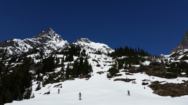
We met some friends at a pullout just west of the Highway 20 hairpin and got started climbing northwest toward Cutthroat Peak at around 10 AM. Most of us were on skis but a couple were on snowshoes.
We stopping climbing at about 12:30 PM and had lunch in a flat area below the peak.
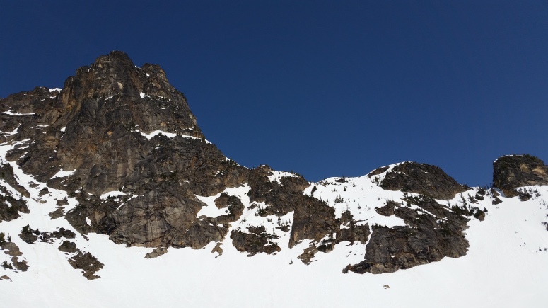
Cutthroat Peak
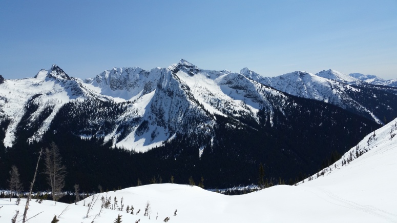
View from Cutthroat
The snow was very slushy on the way down. It was decent on skis despite some thin areas, but Vanessa was post-holing to her knees on showshoes. We were out around 2 PM.
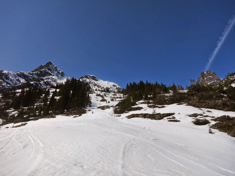
Thin snow
(Download the free Gaia GPS app on your phone to view tracks and then get a Gaia GPS membership if you want offline access. Discount below!)

Recommended brew: Old Schoolhouse Rendezvous Porter
Gear Used:
- Avalache beacon/shovel/probe
- Backcountry boots/skis/skins
- GPS
- Harness
- Helmet
- Trekking poles
Post may contain affiliated links