
Distance: 7.56 mi.
Elevation Gain: 3118 ft.
We left Seattle by 6:30 AM and arrived at the winter trailhead by 8:30 AM, only to realize that the small parking area was already full. A group of Mountaineers were also heading up on snow shoes. We skinned up the road for about 2 1/2 hours and then took the trail climber’s right at the summer trailhead.
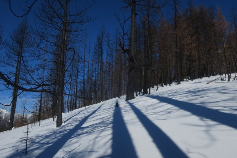
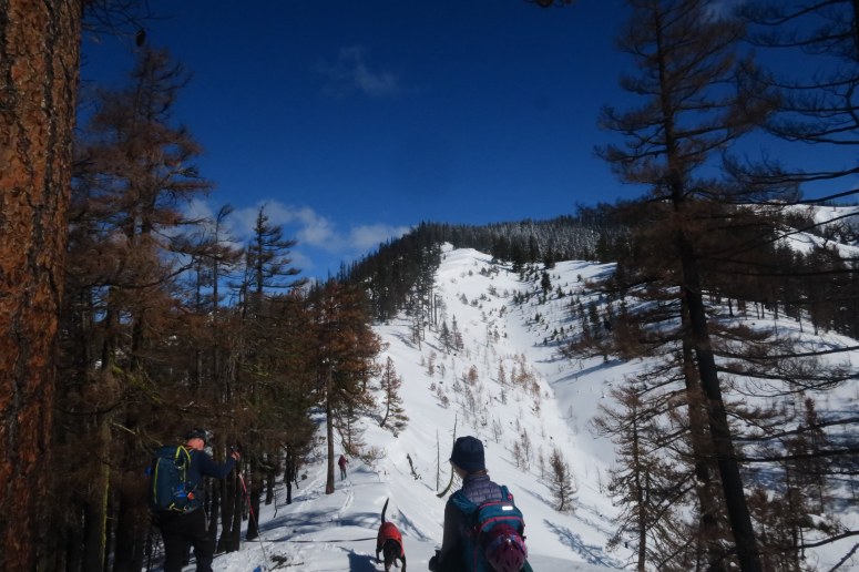
We alternately kickturned through thin snow or followed the snowshoe tracks in order to get up the steeper slope below the ridge. The ridge itself was thinly covered with snow and rocky in places. We followed around to the northeast toward the summit and reached the summit at 1 PM.
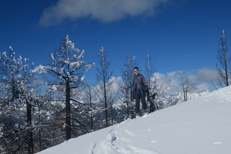
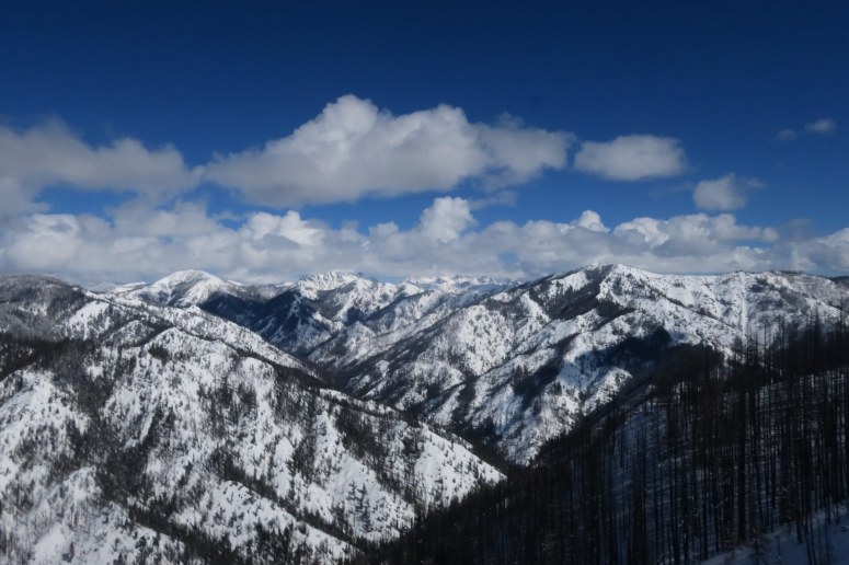
We had lunch and then decided to drop in south below the summit and traverse high right (westward). We found some good snow in the trees and some nice spring corn down low.
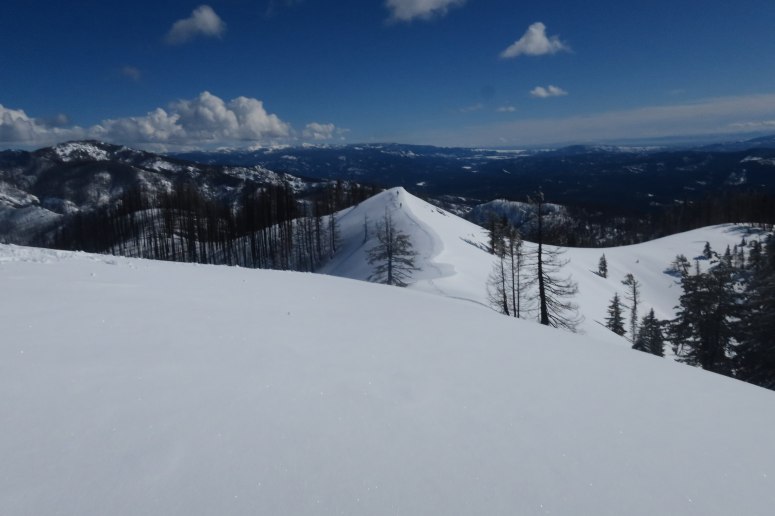
We dropped in on the right (south) side of this ridge, then skied right (west)
Jim and Vanessa continued to ski lower while traversing westward and climbed back up the trail when they finally reached a ravine they had to cross on foot. Craig and Brian climbed back up to the trail earlier and skied down the ridge (GPS track follows this route). Miraculously, both groups met on trail in the exact same spot at the exact same time. We skied down together toward the trailhead sign, and then along the road which made for an easy way down.
(Download the free Gaia GPS app on your phone to view tracks and then get a Gaia GPS membership if you want offline access. Discount below!)

Gear Used:
- Avalanche beacon/shovel/probe
- Backcountry boots/skis/skins
- GPS
- Helmet
- Trekking poles
Post may contain affiliated links