Distance: 5.6 mi.
Elevation Gain: 2900 ft.
We were on a trip to San Francisco with half a day to spare, so we drove down to the nation’s 2nd newest national park, Pinnacles. We decided on a short loop hike along the upper ridges of the park called the High Peaks Trail, but first we wanted to check out the park’s popular Bear Gulch Caves. The caves were definitely worth the detour but so dark we needed a flashlight. We noticed that the rocks were composite rocks and were wondering about the geological history when out of nowhere appeared a park ranger with a bag of rocks and several large cardboard photos featuring the area’s geology. He explained that the fine dust from previous volcanic eruptions cemented around the blasted rock from the same eruptions, creating the composite and easily eroded rock.
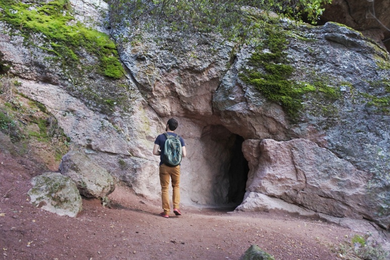
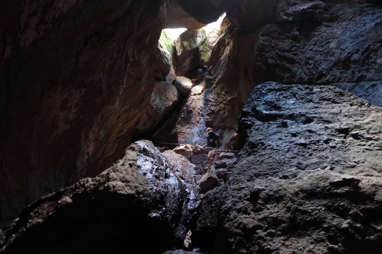
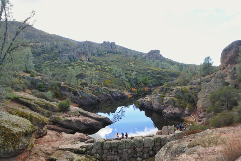
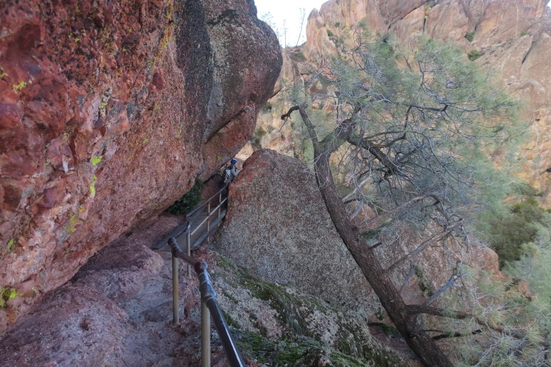
After emerging from the caves we reached the Bear Gulch Reservoir. We then continued north along the Rim Trail to the High Peaks Trail, where we turned left (west). We hiked clockwise along the High Peaks Trail, which took us through a lot of interesting terrain. The air was dry but there was a surprising amount of green after recent rain. The trail was cut into giant boulders and through narrow cracks, even with side rails in places. We saw climbers as well as condors perched on various funny-shaped pinnacles.
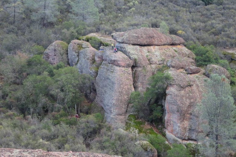
When we began descending we decided to trail run to the car. The trail was wide and gently graded, but littered with jagged rocks. Just as I was thinking to myself, “Why don’t I trail run more often? Oh yeah… it’s because I’m not sure-footed enough to trail run,” I promptly caught my toe on a sneaky rock and dove across the trail as if I was trying to tag home plate. Anyway, we made it back to the car in one piece.
(Download the free Gaia GPS app on your phone to view tracks and then get a Gaia GPS membership if you want offline access. Discount below!)

Recommended brew: Faultline Brewing Winter Warmer
Gear Used:
- GPS
- Trail runners
- Trekking poles
Post may contain affiliated links
