Distance: 6.4 mi.
Elevation Gain: 2600 ft.
As we drove to McCall, Idaho for a wedding, we decided we wanted to run up a peak in Idaho and do some fishing. Craig got a one-day fishing permit and chose Jughandle Mountain because it looked cool and was close to the wedding venue.
We arrived at the Louie Lake trailhead a little after 8 AM, then walked up to the Boulder Meadows Reservoir and followed a path around the south end of the lake. Craig had read that you are supposed to follow a path from the east end of the parking lot and this didn’t seem right, so we backtracked until we found a path that went west and then intersected an old road path that seemed similar to the descriptions of online trip reports. It turned out to be a different old road. This path eventually intersected a yet another road that had some sticks on it to mark the way. We misinterpreted them and turned left. If we had turned right we would have intersected the main road/trail to the lake. Instead, the way we went eventually disappeared into some brush, so we had to thrash up the hill against some unruly huckleberry bushes. We don’t recommend this. On looking at Google Earth, it seems like there is a more straightforward trail to the lake if we had started farther west at the parking area.

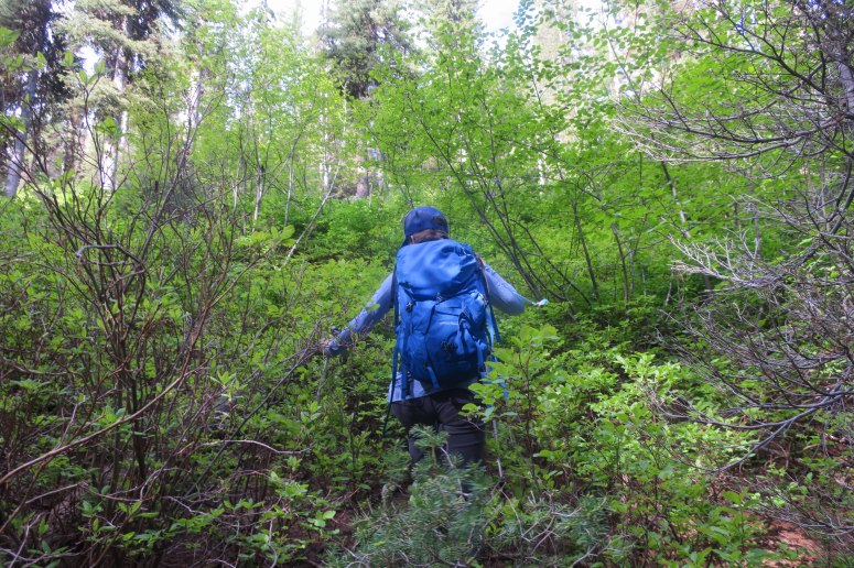
Anyway, we used our GPS and eventually made our way to Louie Lake. We ended up above it and to the east, so we side-hilled until we found the actual trail that circumnavigates the lake.
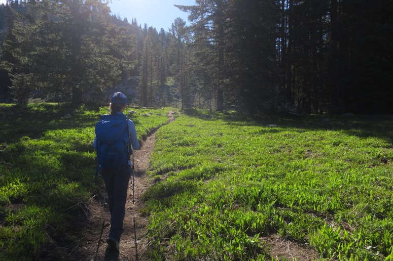
We followed the trail to the pass just south of Twin Peak, at which point we got off trail and headed southwest up the ridge. There were a few patches of snow but nothing challenging to cross. The ridge soon became a jumble of large boulders, which was pretty fun scrambling if you like sticky granite.
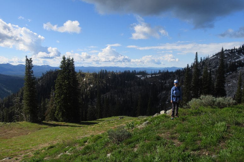
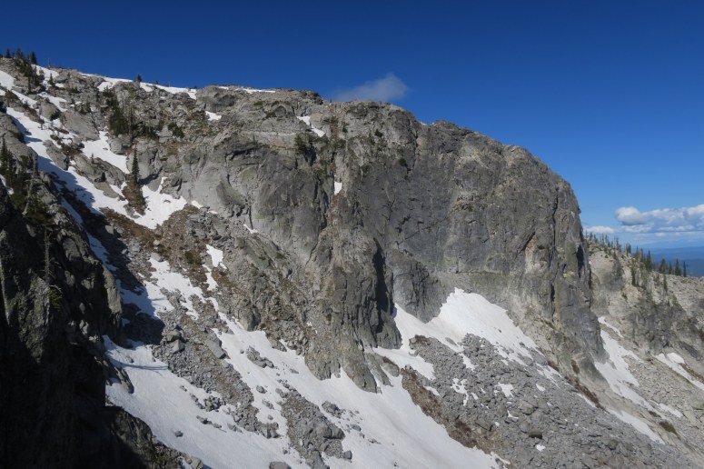
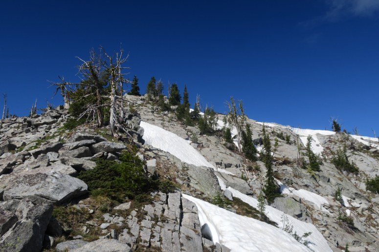
We started to hustle a bit when we noticed the clouds darkening above us. We didn’t spend too much time hanging out at the summit before heading back down to get below treeline. We did see a decaying old boot at the summit, which I successfully peer-pressured Craig into carrying out 🙂
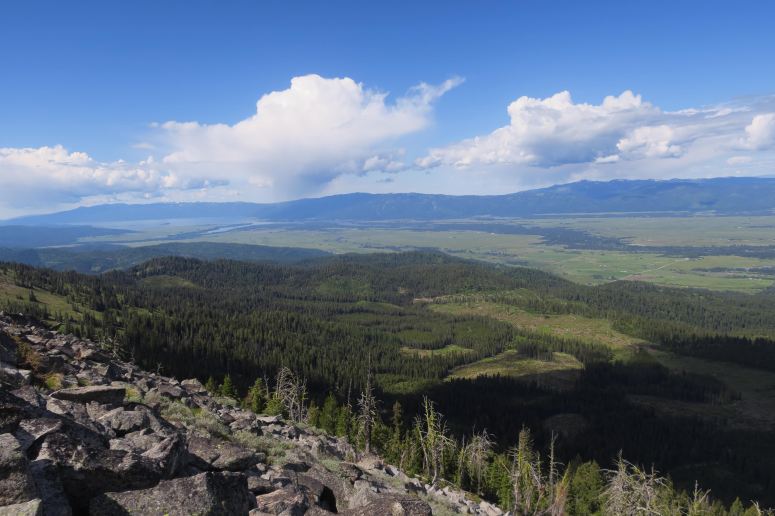
Rather than go out the way we came, we decided to descend north from the summit before dropping off to the west along some faint boot tracks. We made our way down the west face until we found a distinct trail to follow back north to Louie Lake.
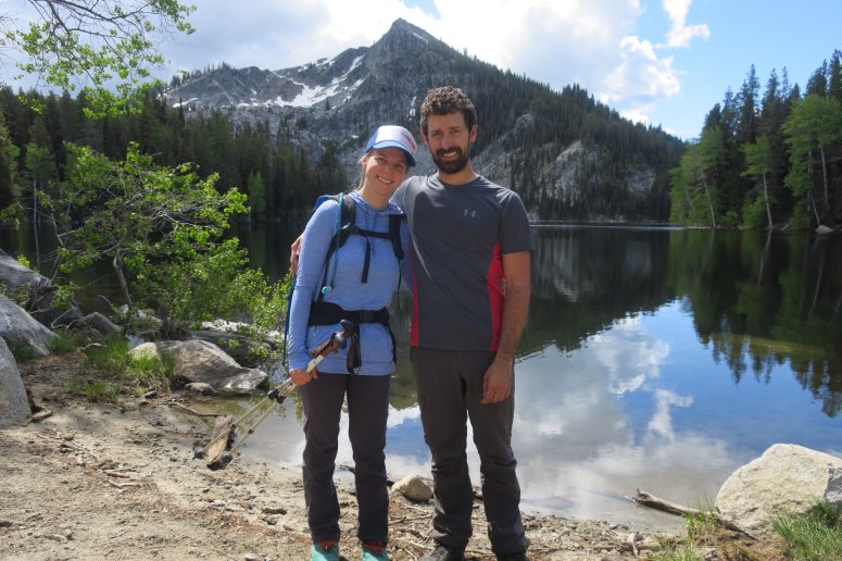
When we arrived, Craig did some fly fishing for a bit (no luck). Surprisingly, there weren’t really any bugs around all day. We headed back down the super obvious road/trail from the lake but decided to go right (northeast) from the trail when we realized it was taking us too far west to get back on the roads we had taken up. But, once again, looking at Google Earth we think we could have followed the big road just a bit further to a more obvious trail off to the right. So basically, you should ignore about half of this GPS track because it wasn’t the best route, but the summit approach and descent are good!
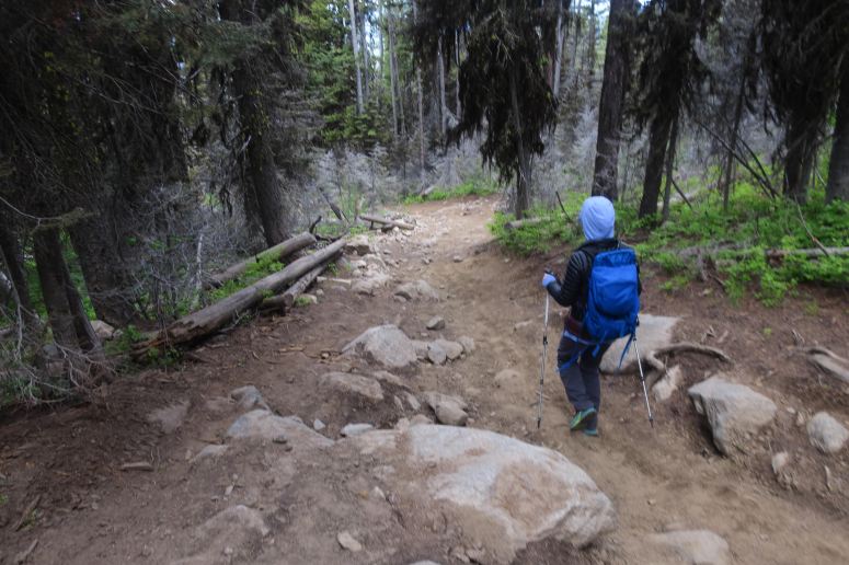
(Download the free Gaia GPS app on your phone to view tracks and then get a Gaia GPS membership if you want offline access. Discount below!)

Recommended brew: Hop Valley Alphadelic IPA
Gear Used:
- Fishing pole
- GPS
- Trail runners
- Trekking poles
Post may contain affiliated links
