Distance: 7.5 mi.
Elevation Gain: 5400 ft.
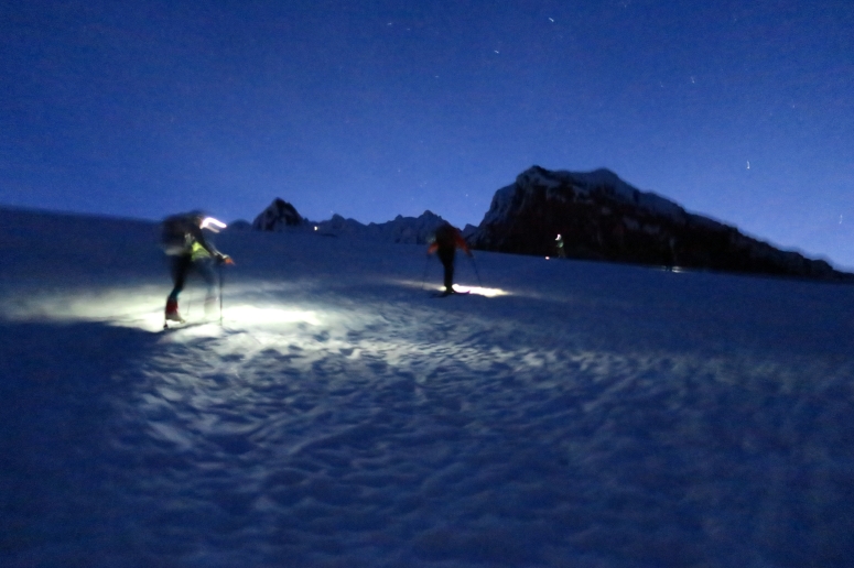
We got started at 1 AM after “sleeping” briefly in the Hood parking lot. Luckily the snow still reached the lot, so we didn’t have to carry skis at all. There was a strange weather system going on so it felt like 100° F at this early hour. That plus lack of sleep and the sulfuric smell made me really queasy and I actually threw up after about an hour of climbing. After that I felt amazing and continued on without issue. We enjoyed the pretty stars as we continued up before dawn.
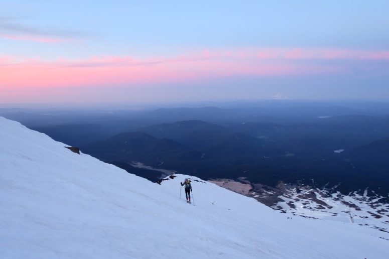
We reached the Hogsback and crater just before 6 AM and could see most of the remainder of the route (both Pearly Gates to climber’s right (east) and the Old Chute to climber’s left (west). There were lots and lots of folks ahead, looking like a line of ants. We left our skis here and we roped up for the final portion past the bergschrund and through the Pearly Gates. We reached the bergschrund at 7 AM. It was easy to navigate past but definitely very open.
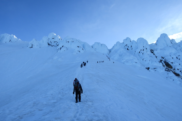
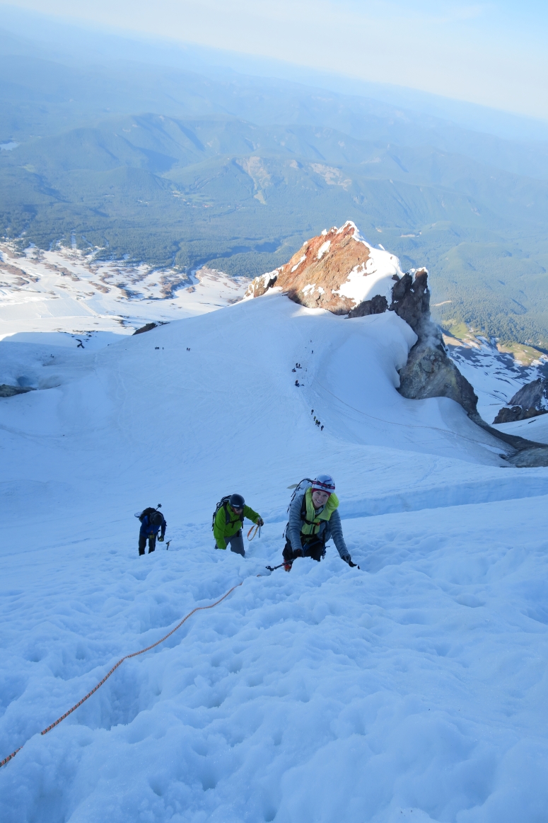
We filed through the Pearly gates one by one, hoping no one from above slipped onto us along the firm surface. Having both the ice axe and whippet for dual points (plus crampons) felt much more secure. There were good steps in the snow, but it became difficult to manage with down-climbers heading through the same pinch points.
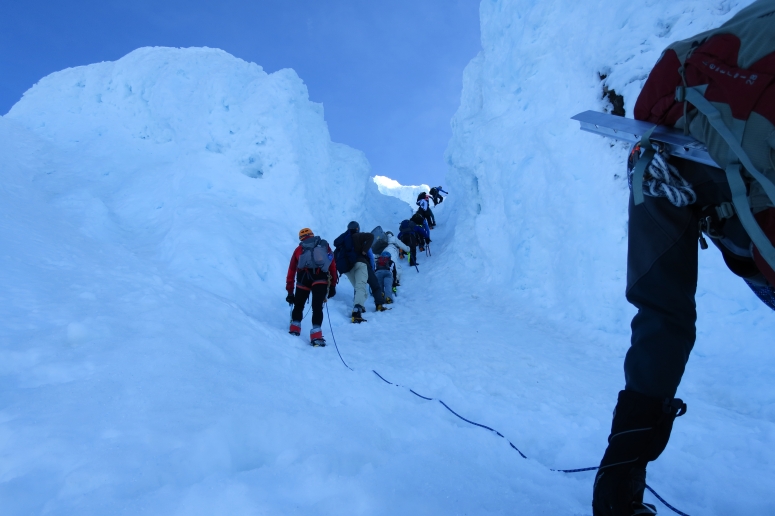
We made it to the summit at 8 AM. It was a little hazy but we still had expansive views of the surrounding area. We didn’t spend a whole lot of time at the summit, knowing that the Pearly Gates become more treacherous as the day warms up. And indeed, as we down-climbed through the narrow chute, small hunks of ice were falling onto us from the surrounding walls. Good thing for our helmets.
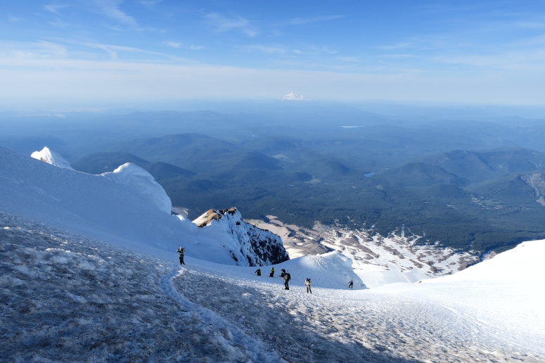
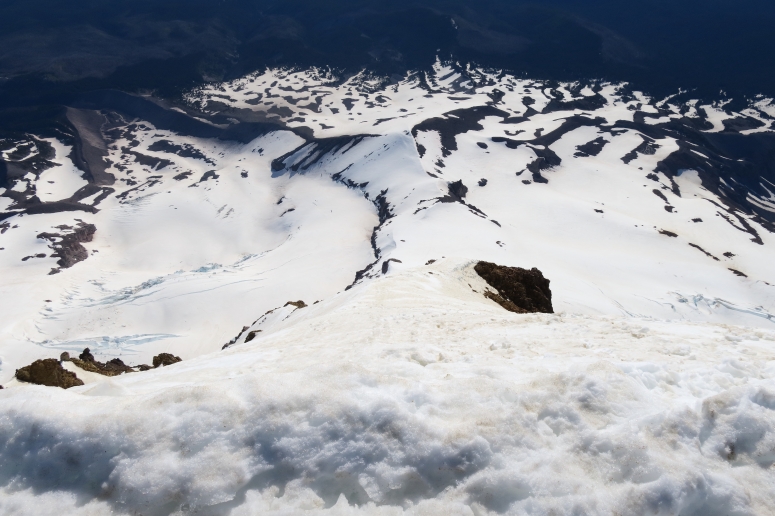
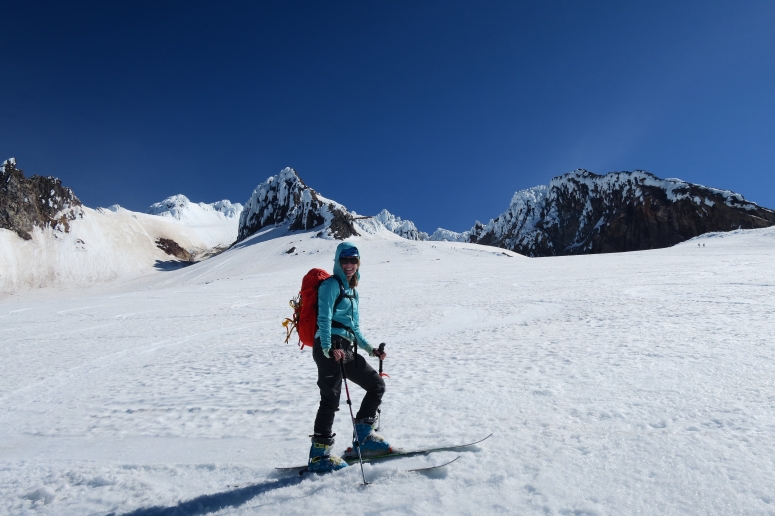
We reached our skis again around 9:30 AM. Now came the time for the real fun! We picked our way back down the mountain on skis, legs a bit wobbly from the long climb. Our descent route was more to skier’s right (west) than our ascent route. We avoided rocks toward the bottom and skied back out through the resort and back to the car at 10:30 AM. Much faster on the way down!
More photos
Download GPS track
(Download the free Gaia GPS app on your phone to view tracks and then get a Gaia GPS membership if you want offline access. Discount below!)

Recommended brew: Deschutes Brewery Fresh Squeezed IPA
Gear Used:
- ATC (not used)
- Avalanche beacon/shovel/probe
- Backcountry boots/skis/skins
- Glacier glasses
- GPS
- Harness
- Headlamp
- Helmet
- Locking carabiners (not used)
- Pickets (not used)
- Prusiks
- 60m half rope
- Ski crampons
- Steel crampons
- Steel ice axe
- Trekking poles
- Whippet
Post may contain affiliated links
