
Distance: 7.6 mi.
Elevation Gain: 3,000 ft.
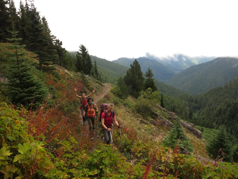
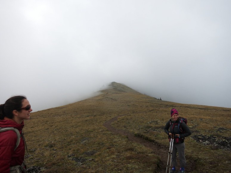
After a ferry ride and decent drive, we reached the Upper Trailhead for Mount Townsend just before noon. Along the trail, there were fall colors, a few remaining huckleberries, and no bugs. It was a cool, cloudy day, so we had nothing for views but it was a pretty neat experience to hike through the fog across the heather near the summit. We reached the top around 2 PM. Luckily there were some rocks to sit on and have lunch while fending off the persistent squirrels. Before long, we were on our way back to the car. For a hike with no views, this trip was worth the effort.
(Download the free Gaia GPS app on your phone to view tracks and then get a Gaia GPS membership if you want offline access. Discount below!)

Recommended brew: Propolis Beltane Elderflower Saison
Gear Used:
- Day Packs
- GPS
- Trail runners
- Trekking poles
Post may contain affiliated links