Distance: 9.6 mi.
Elevation Gain: 4200 ft.
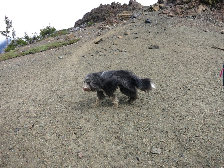
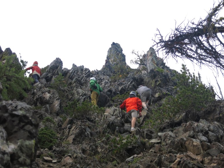
Weather was kind of gray and stormy for July, so we decided to do a loop hike in the Teanaway Range. We left the Beverly Creek trailhead at 9 AM and turned left (northwest) at the first trail split on the Beverly Turnpike Trail. We continued north until the next trail split where we turned right onto the County Line Trail which ascends to the pass between Bills and Marys Peaks. At the pass we turned right (east) onto the Hard Scrabble Trail, which would take us to the ridge between Volcanic Neck and Bean Peak. At 6500 feet we turned left along a scree slope with a decent boot path that traverses under the SE face of Volcanic Neck. We then curved around left (northeast) to climb Volcanic Neck via a gully on its north slopes. It was a fun brief scramble and we reached the summit at 12 PM.


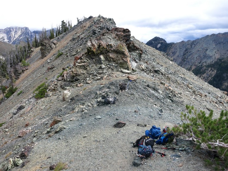
We retraced our steps back to the trail, then followed the north-south ridge from here up and down over some rocks to reach Bean Peak. We got there at 12:30 PM and had lunch.

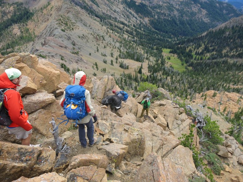
From here, we followed a faint booth path left (southeast) along the ridge that connects to Earl Peak, arriving at the summit around 2 PM. The scree slope off the other side of Earl Peak was pretty steep.

We took the Earl Peak Trail back down until we reached the Bean Peak Trail, which took us back west. The Bean Peak Trail eventually met the Beverly Turnpike Trail, where we turned left (south) to retrace our steps back to the car! We finished up at 4 PM. A fun day of peakbagging in the Teanaways and hardly seeing the same thing twice!
(Download the free Gaia GPS app on your phone to view tracks and then get a Gaia GPS membership if you want offline access. Discount below!)

Recommended brew: Mule & Elk Brewing Golden Ale
Gear Used:
- GPS
- Trail runners
- Trekking poles
Post may contain affiliated links

Your gear list left off the Picket
Haha woops. *And Picket the dog