
Distance: 9.13 mi.
Elevation Gain: 2969 ft.
Vanessa’s friend Theresa was in town and we wanted to show her all that Rainier National Park has to offer, so we headed over to Sunrise Visitor Center and started hiking around 1 PM. We chose one of the various trails going due north from the parking lot, and then shortly turned left (northwest-west) toward the Frozen Lake trail.
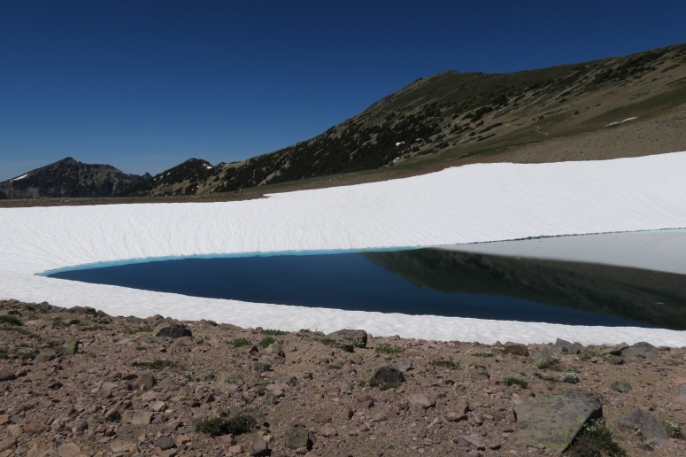
Frozen Lake
We received warnings that the trail was still snowy and that we should proceed with caution. Luckily, the rangers had recently cut into the snow to create a wide, flat trail across this otherwise steep snow slope.
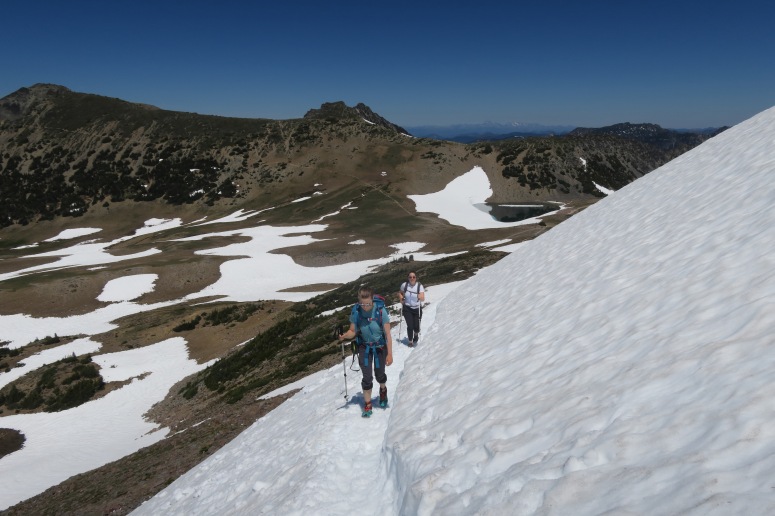
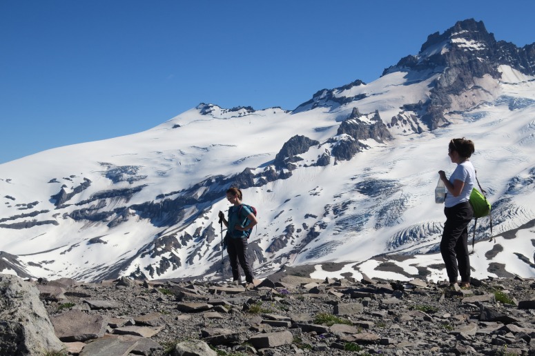
We felt comfortable to cross without a ice axes and reached the summit of First Burroughs (aka Burroughs) at 2:30 PM. We stopped briefly to have lunch. From here the trail melted out again so we continued southwest to summit Second Burroughs on mostly dry ground. We were able to scout our route up Emmons Glacier from the summit for our upcoming Rainier climb.
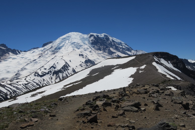

Emmons Glacier Route as seen from Second Burroughs
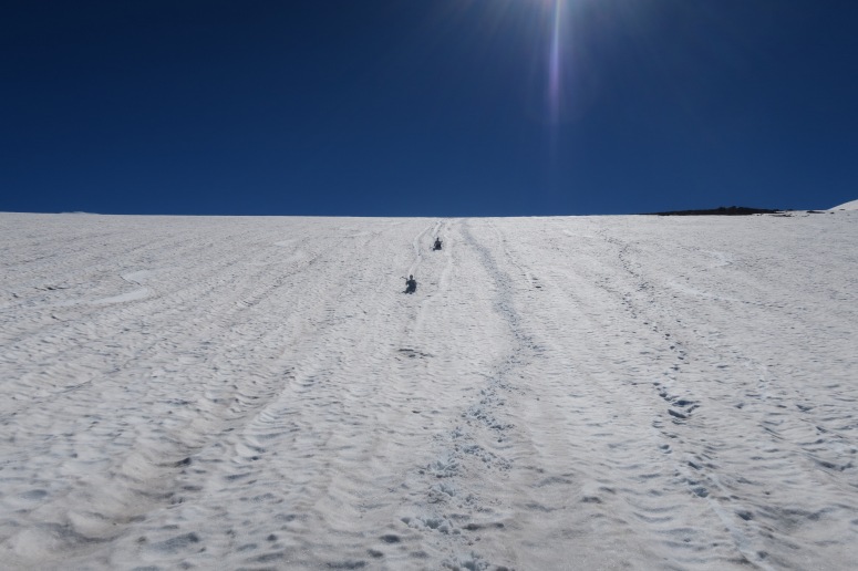
We also saw a couple of tracks on the south side of Second Burroughs from some very motivated backcountry snowboarder presumably doing laps after a long carry. We then turned right (north) across the summit toward Third Burroughs. This required a short descent and then climbing again across a large snow field. The snow travel was pretty firm and easy as we continued southwest, and then we got back on rock and headed right (north) toward the summit. We reached the summit around 4 PM. From the summit we glissaded down on the soft, slow snow back to the low point between Third and Second Burroughs, and then retraced our steps back across Second Burroughs and toward First Burroughs.
Instead of going back the way we came, we turned right (east) at the trail crossing with Burroughs Mountain Trail to complete our loop back to the parking lot.
There was one shaded patch of snow on this trail that was tricky to cross, but otherwise we enjoyed the easy downhill path pack with sightings of mountain goats and wildflowers! We finished at 6:30 PM.
(Download the free Gaia GPS app on your phone to view tracks and then get a Gaia GPS membership if you want offline access. Discount below!)

Gear Used:
- GPS
- Trail runners
- Trekking poles
Post may contain affiliated links