
Distance: 11.8 mi.
Elevation Gain: 7681 ft.
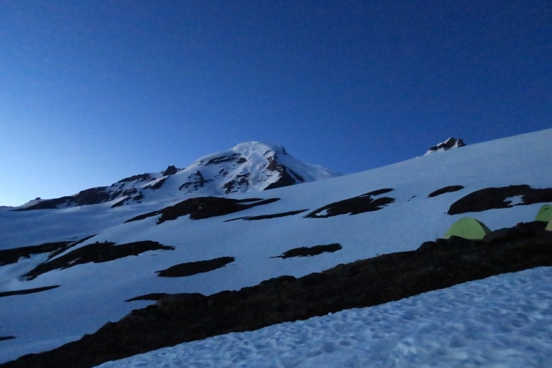
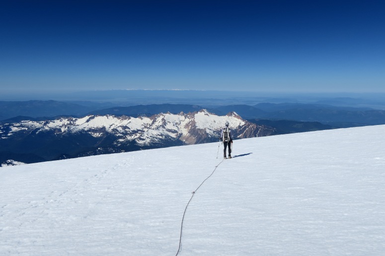
We decided to do Mount Baker as a two-person team in a day! We wanted to do the Coleman Deming route, so we drove to the Heliotrope Ridge trailhead (3,700 feet) the evening before, slept in the car for a few hours, and then got started with our headlamps on at 2:20 AM. We reached the moraine campsite ~6,000 feet at 4 AM and roped up and put crampons on to cross the Coleman Glacier in a generally southeasterly (climbers leftward) direction.
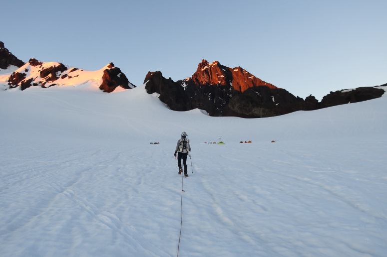
There was a good boot path for the most part, or a choose-your-own adventure on some steeper sections. We reached our first crevasses at around 8,000 feet (6 AM), but nothing was sketchy or difficult to avoid at this time of year. By the time we reached the southwest ridge of the summit, the snow became pretty icy again.
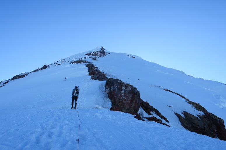
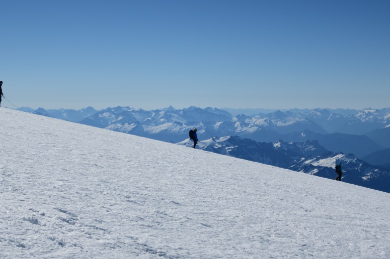
We saw some skiers coming down who seemed to be having a tough go of it. It was pretty cold and windy on this section. The sun finally met us and warmed us up, and then we reached the summit at 9 AM. There were probably 20 people on the summit from the various climbing routes. We had views for miles in every direction! We also saw some brave souls doing the North Ridge route up Baker.

We headed back down around 9:45 AM. The southwest ridge was now sunny and had quickly turned from ice to slush. We had to be a bit more careful in the crevasse section now that the snow was sloppy, but we still didn’t encounter any major difficulties.
Once we got safely below the crevasses we unroped and tried to glissade wherever we could, but the snow was very heavy and slow. One thing we didn’t anticipate – since we were going down the trail in the late morning/early afternoon, there were gobs of day hikers coming uphill. We had to step aside every 10 seconds or so, so our travel time was significantly slowed. One lady asked us if we “saw the view”, which was pretty cute. We saw ALL the views!
We made it out at 2 PM. It was so nice to travel quick and light with only a day pack on this big climb. I definitely recommend to consider it as a day trip.
(Download the free Gaia GPS app on your phone to view tracks and then get a Gaia GPS membership if you want offline access. Discount below!)

Recommended Brew: Wander Brewing Global Mutt
Gear Used:
- Aluminum crampons
- Aluminum ice axe
- Gaiters
- Glacier glasses
- GPS
- Harness
- Helmet
- Locking carabiners
- Mountaineering boots
- Pickets
- Prusiks
- Rope
- Trekking poles
Post may contain affiliated links