
Distance: 10.8 mi.
Elevation Gain: 4800 ft.
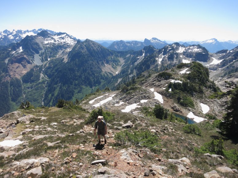
We started out at the Gothic Basin trailhead at 8:15 AM. This was the first time I had hiked up the Road to Monte Cristo without a bike. It is only a 1.25 miles to the trail turnoff though so it isn’t really that helpful for all the trouble of bringing bikes. The trail then parallels the river a little further until it heads up the Weden Creek Basin, generally heading pretty quickly uphill for a nice trail.
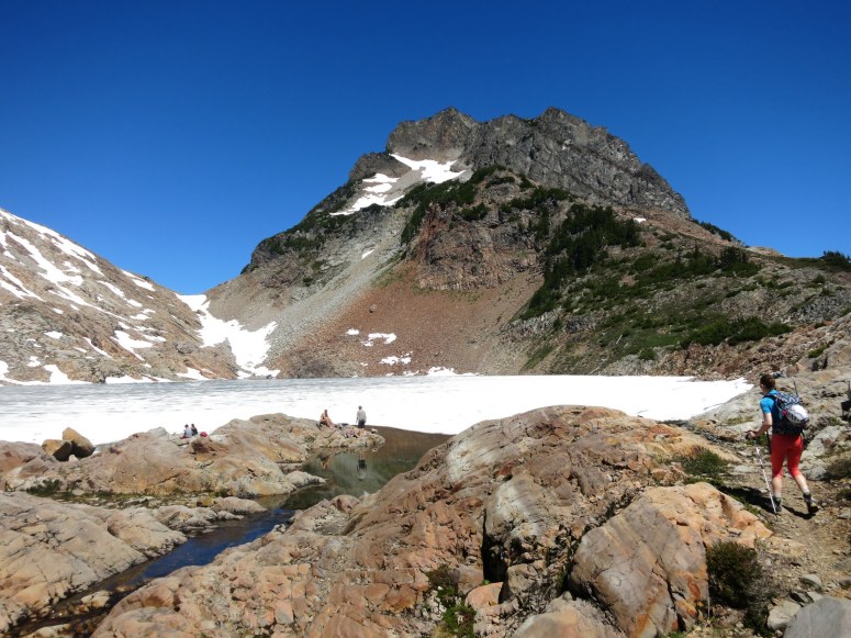
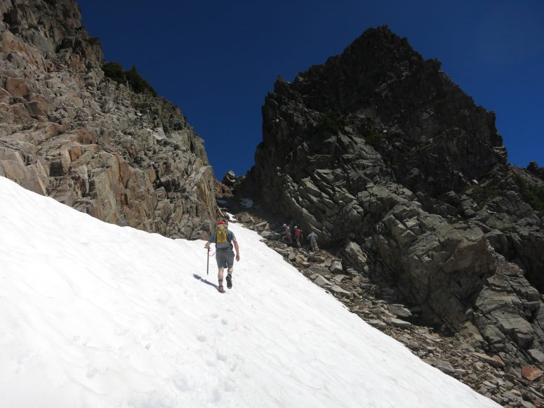
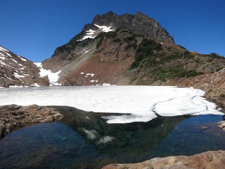
We reached Foggy Lake, which was mostly frozen over, at about 11:30 AM. From here we continued north on the climber’s trail the heads up the SE ridge of Del Campo and reached consistent snow at about 5500 ft (in a low snow year).
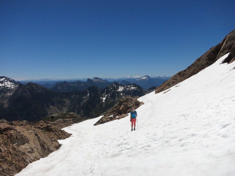
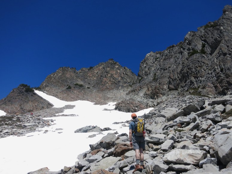
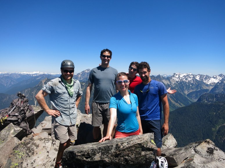
After crossing a boulder field we followed a snow finger up toward the peak. As the snow petered out, we had to choose a scramble route up the rock wall beneath the summit. We scrambled directly up to a small notch in the ridge SE of the summit. From there we had to briefly scramble some 4th class to get into easier terrain. We had just missed the class 3 scramble ledges that ascend just climbers left of this notch. We made it to the notch below Del Campo peak around 1 PM. From here we had a pretty easy hike/scramble on loose dirt and crumbly rock. There was a boot path, although it branched off in places. We reached the summit 15 minutes later.
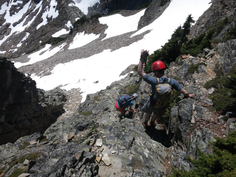
We found the 3rd class ledge scramble for our way down (the boot path helped us find it), so we ended up descending a bit further to skier’s right (west). There were a few areas for brief glissading on the snow patch below the summit. We reached Foggy Lake again at 3 PM and then retraced our steps back out.
More photos
Download GPS track
(Download the free Gaia GPS app on your phone to view tracks and then get a Gaia GPS membership if you want offline access. Discount below!)

Recommended brew: Scuttlebutt Brewing Hoptopia IPA
Gear Used:
- Glacier glasses
- GPS
- Helmet
- Mountaineering boots
- Steel crampons (not used)
- Steel ice axe
- Trekking poles
Post may contain affiliated links