Distance: 8 mi.Elevation Gain: 4100 ft. Although this was our first ski tour of the season, we decided to take advantage of the low-moderate avalanche risk and…… Read more “2020-11-29 Anvil Rock”
Tag: southcascades
2020-11-01 High Rock
Distance: 3.4 mi.Elevation Gain: 1400 ft. We were treated to some very nice weather for November, but with the short daylength and snow up high we decided…… Read more “2020-11-01 High Rock”
2020-09-21 Pinnacle Peak and The Castle
Distance: 4.3 mi.Elevation Gain: 2500 ft. We left from the Mowich Lake Campground just before 6 AM and made it to the Pinnacle Peak Trail a bit…… Read more “2020-09-21 Pinnacle Peak and The Castle”
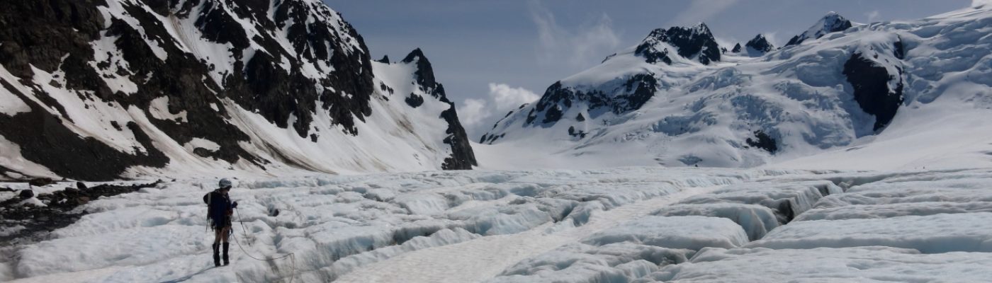
2020-09-20 Observation Rock and Echo Rock
Distance: 13.7 mi.Elevation Gain: 4700 ft. Nancy and I met at the Mowich Lake trailhead a bit after 9 AM and it was already jam packed with…… Read more “2020-09-20 Observation Rock and Echo Rock”
2020-08-10 Fremont Lookout, Mount Fremont, and Antler Peak
Distance: 7 mi.Elevation Gain: 1500 ft. We started off our day at the Sunrise Visitor Center in Mount Rainier National Park (park pass required) around 11 AM.…… Read more “2020-08-10 Fremont Lookout, Mount Fremont, and Antler Peak”
2020-06-14 North Ridge, Mt. Clifty & Lookout Mt.
Distance: 14.9 mi.Elevation Gain: 4000 ft. Once again the weather over the weekend was looking much worse than it had been all week. I had planned to…… Read more “2020-06-14 North Ridge, Mt. Clifty & Lookout Mt.”
2020-05-23 Tatoosh Peak
Distance: 10.8 mi.Elevation Gain: 4500 ft. We actually tried this peak (from another the north trailhead) in November but had to bail due to difficult postholing losing…… Read more “2020-05-23 Tatoosh Peak”
2011-07-30-31 Mt. Adams (Adams Glacier)
Distance: 15.3 mi.Elevation Gain: 8000 ft. Jim and I had discussed trying to climb Adams via the Adams Glacier, but there is a fine balance of when…… Read more “2011-07-30-31 Mt. Adams (Adams Glacier)”
2019-09-21 Goat Island Mountain
Distance: 9.2 mi.Elevation Gain: 3800 ft. Usually when Craig and I make new friends, it’s because we’ve realized that our current set won’t do any more stupid…… Read more “2019-09-21 Goat Island Mountain”
2019-09-15 Ape Caves
Distance: 1.5 mi.Elevation Gain: a little bit Craig and I have been planning to visit Ape Caves, the longest lava tube in the continental US, for several…… Read more “2019-09-15 Ape Caves”